F

133.-20210901_082530.jpg

I continue with the review on the Route of the Seven Lakes that wonderful place that is understood by Argentine Patagonia.

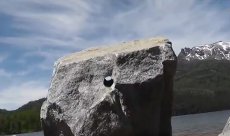
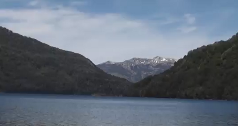
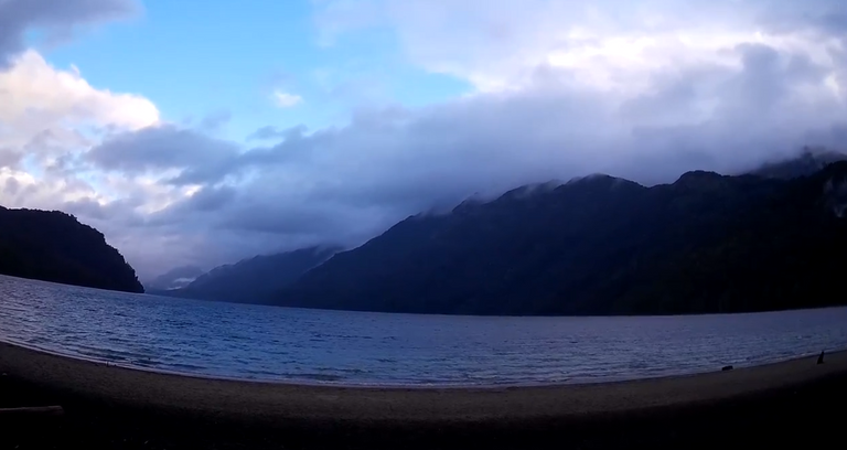
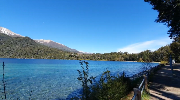
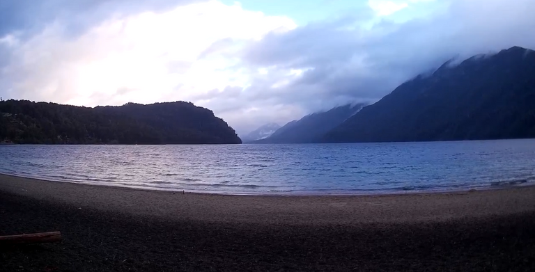
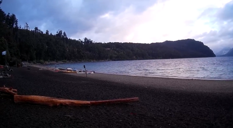
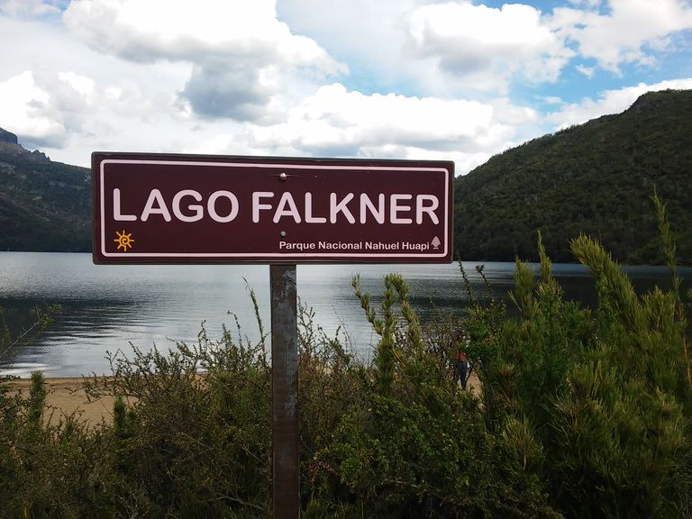
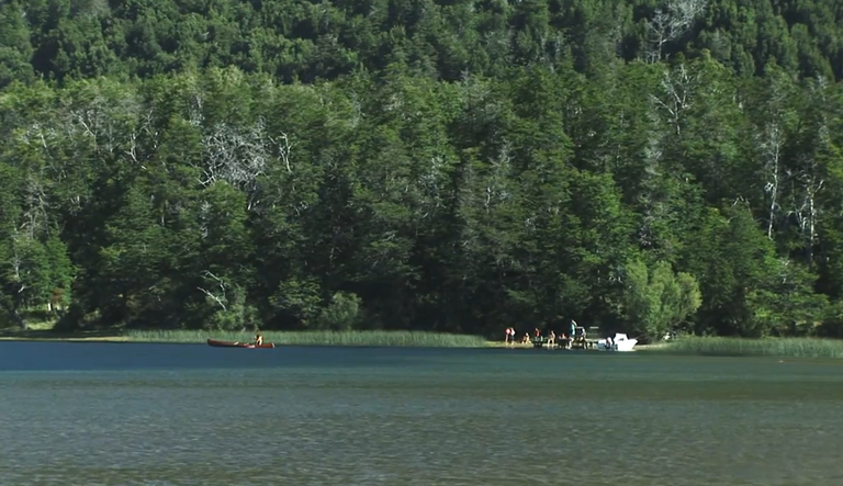
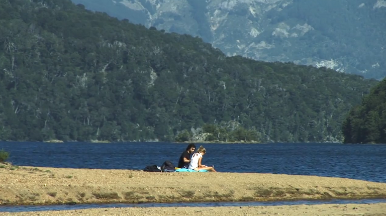
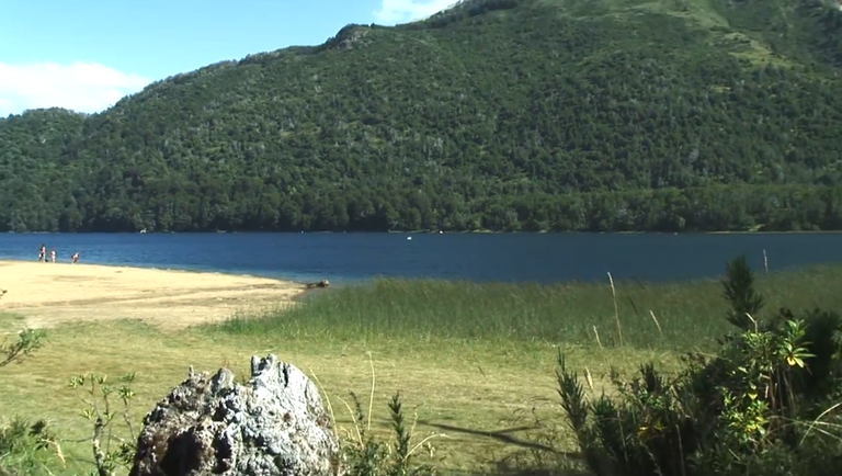
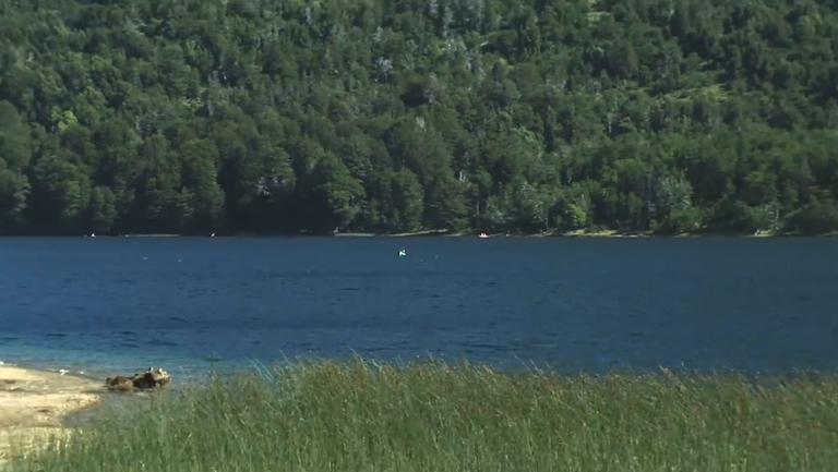
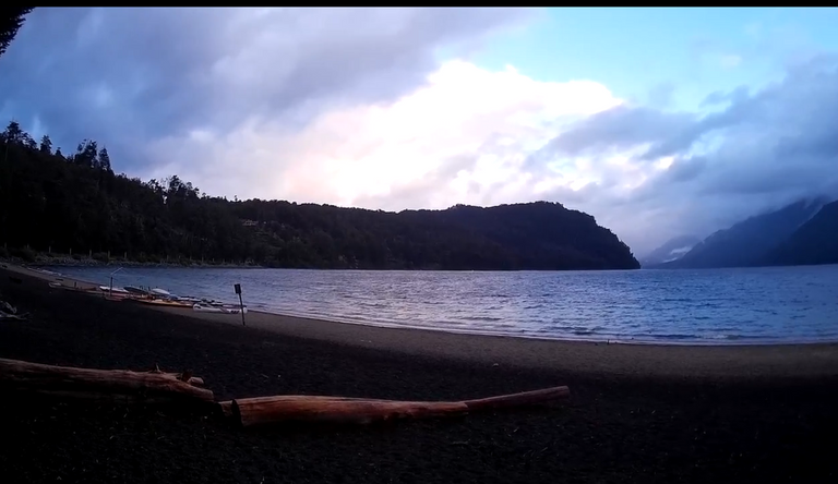
Today I am going to talk to you about Falkner Lake. One of the most beautiful that make up the so-called Route of the Seven Lakes, protected from the wind -unlike Lake Correntoso- which I told you about in the previous post, and with huge sandy beaches ideal for relaxing.
34.-Lago-Falkner-4.png

It is located just 50 kms from San Martín de los Andes. And they can access it through Route 40 as I did or simply by reaching San Martín los Andes and from there take the lake route.Sigo con la reseña sobre la Ruta de los Siete Lagos ese lugar maravilloso que se entiende por la patagonia argentina.

It has an area dedicated as a picnic spot. And you can also buy sweets and homemade bread from the locals.
34.-Lago-Falkner.png

Its name is in honor of the memory of Tomás Falkner, an 18th century Jesuit missionary priest of English origin, who, although he never visited the region where the lake of that name is located, after carrying out an important task of evangelizing the Indians in the south of the current province of Buenos Aires, collected important geographical data about it which he captured in his well-known work "Description of Patagonia and the contiguous parts of South America."
34.-Lago-Falkner-5.png

So far I have told you about three lakes that make up this true natural route. So I'm halfway there.
34.-Lago-Falkner-9.png

They are:

The Mirror Lake.

34.-Lago-Falkner-8.png

The Beautiful Lake.

34.-Lago-Falkner-7.png

The Rushing Lake.

34.-Lago-Falkner-11.png

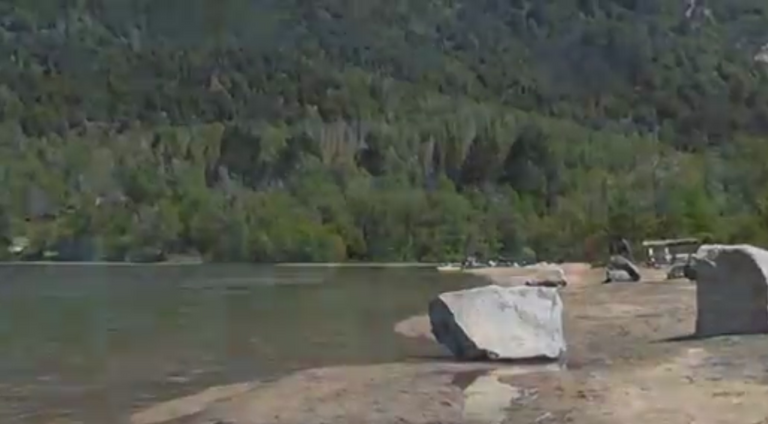
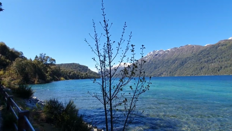
Falkner Lake, halfway between San Martín and La Angostura, presents the ideal mix: transparent water, fishing, kayaks, canoes and snorkeling and for this reason it is the most chosen by families to take a few days of vacation.
34.-Lago-Falkner-10.png

On its western shore there is a campsite and a small inn, the only places in the area that are equipped to accommodate tourists.

It is one of the "seven lakes" that give its name to the tourist circuit of the same name, the most well-known tourist circuit in the province of Neuquén.
34.-Lago-Falkner-2.png

34.-Lago-Falkner-1.png

source: https://blurtlatam.intinte.org/travel/@argenvista/43nfnw-unmissable-places-on-route-40-faulkner-lake-lugares-imperdibles-en-la-ruta-40-lago-faulkner-eng-esp
33.-Lago-Correntoso-10.png

I continue to relate my experience having crossed and traveled one by one all the lakes that make up the so-called Route of the 7 Lakes on my route of Route 40 from north to south.
It is a very long journey and therefore it was the ideal opportunity to stop and see the lakes (although for a few hours) that make up this truly spectacular Route from a naturalistic point of view.

I've never seen anything like it. Waters of different colors framed by the Andean flora: cypresses, myrtles, pines, larches.

At that time I mentioned them to him in passing. Now I will tell you in more detail about this Patagonian wonder.

In this post I am going to talk to you about Rusing Lake.

In my two previous posts I had referred to Mirror Lake.

And to the Beautiful Lake.

The Rushng Lake owes its name to the force of the water currents that are internally produced by the strong winds that blow in the place.

It has such a rugged and wild beauty that it scares with the nuts that seem to touch the ground so low they are.

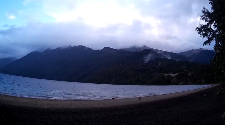
Unfortunately it was a fairly cloudy day and the photos lack some light.

The clouds go down so low that they make the upper part of the hills that are not too high disappear.

33.-Lago-Correntoso.png

33.-Lago-Correntoso-1.png

It impacts and scares at the same time.

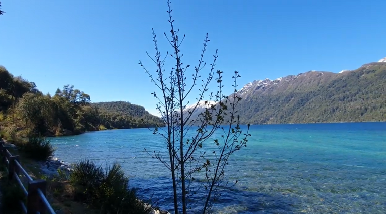
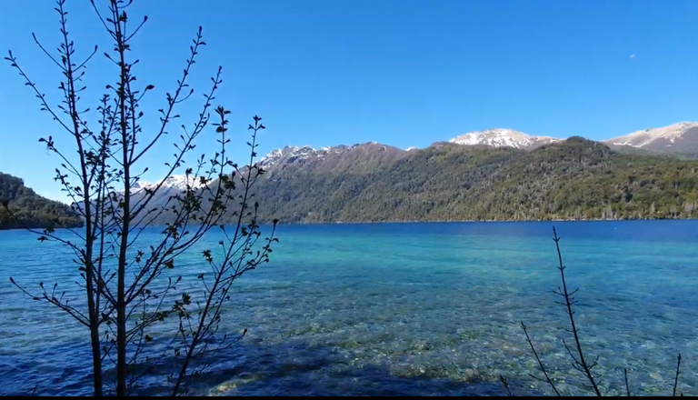
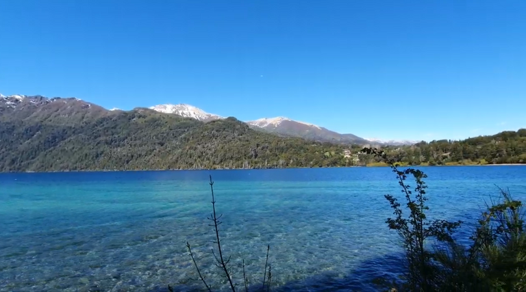
I stayed one more day to be able to take some photos on a sunnier day and from other Angolans, not just from the beach.

And I was lucky. I managed to get some beautiful, spectacular shots.

33.-Lago-Correntoso-2.png

33.-Lago-Correntoso-6.png

33.-Lago-Correntoso-7.png

33.-Lago-Correntoso-8.png

33.-Lago-Correntoso-9.png

It can be reached starting directly from Villa La Angostura in the direction of the Seven Lakes route, as one who goes to the limit After a few kilometers there is the bridge over the Correntoso river.

From this point of view the view is wonderful, spectacular.

We can see the Correntoso river sandwiched between high rocks.

It is actually very short and drains immediately into the Nahuel Huapi Lake.

33.-Lago-Correntoso-3.png

33.-Lago-Correntoso-4.png

33.-Lago-Correntoso-5.png

source: https://blurtlatam.intinte.org/travel/@argenvista/6s7qvs-must-see-places-on-route-40-correntoso-lake-in-an-incomparable-natural-setting-surrounded-by-mountains-volcanic-sands-and

02.-Excursion-El-Calafe-Chalten.jpg

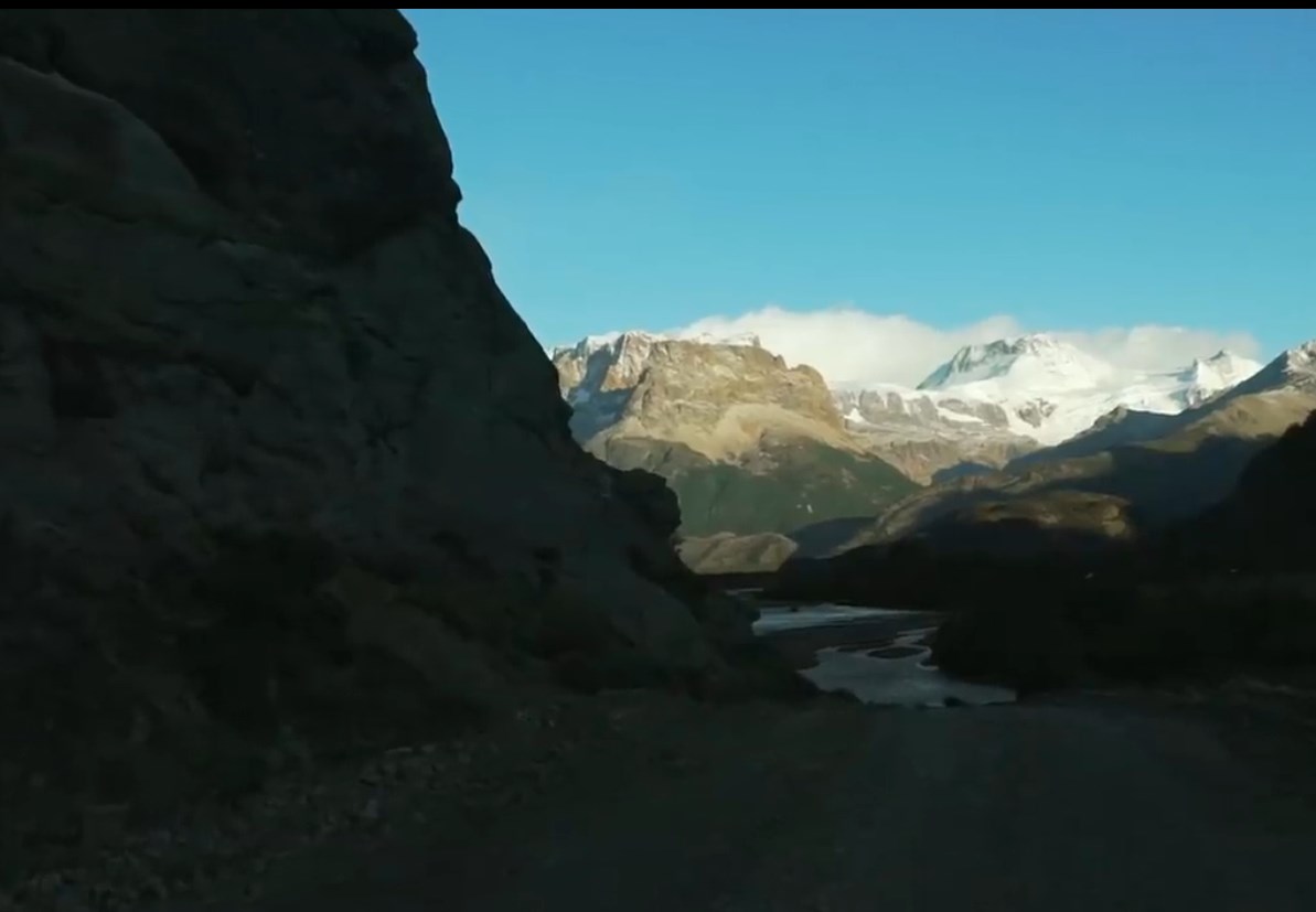
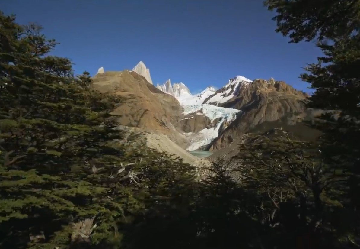
In this article I am going to tell you about the excursion made last year starting from Calafate (in the province of Santa Cruz) until arriving at El Chaltén.

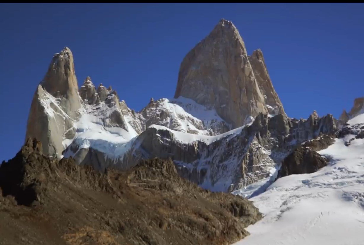
El Chaltén is one of the most beautiful places in the world for trekking.

There are several trails. Each one has a different distance and difficulty.

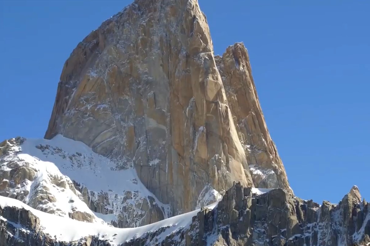
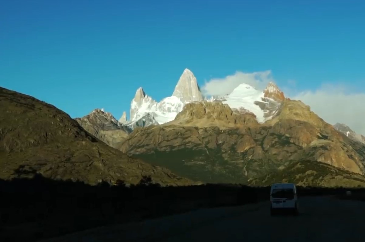
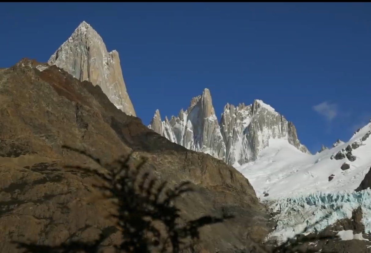
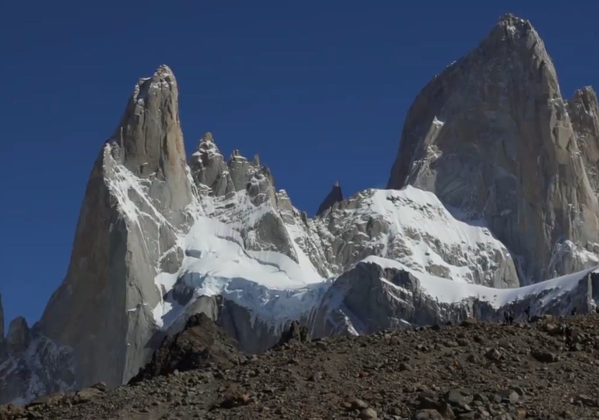
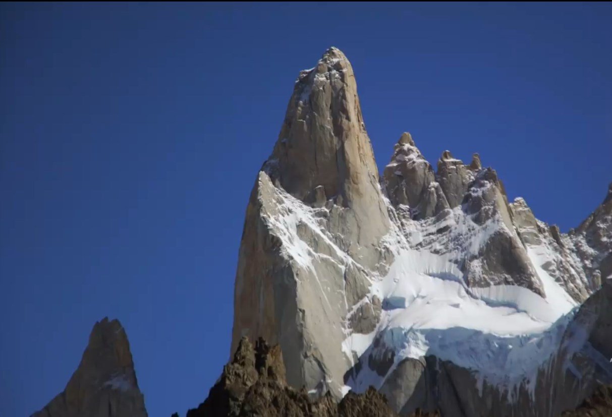
El Chaltén also known internationally as Fitz Roy.

02.-Excursion-El-Calafe-Chalten-31.jpg

The name Chaltén has its meaning in the Tehuelche language and means "hill or smoking mountain" although some historians deny it.

The name Fitz Roy was given by the explorer Francisco P. Moreno in tribute to the captain of the HMS Beagle, Robert Fitz Roy, who explored the Santa Cruz River and much of Patagonia.

The hill is located within Los Glaciares National Park.

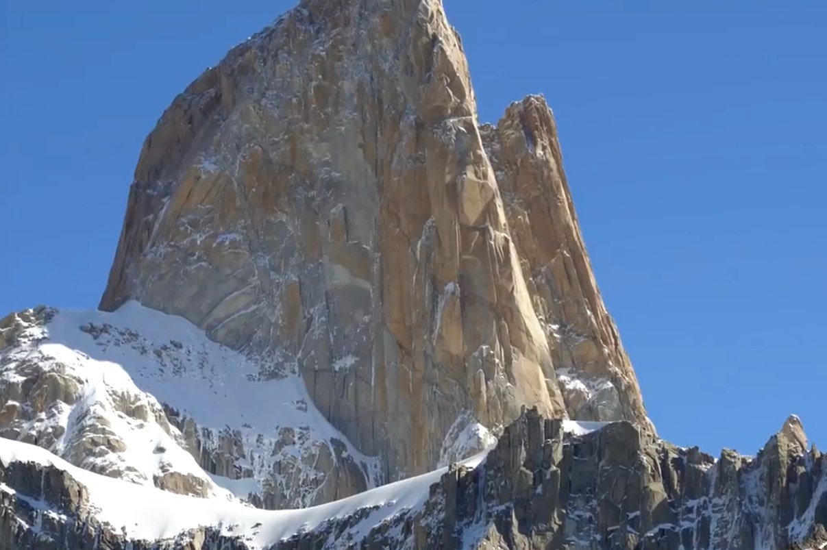
It is a challenge for mountain climbers since its walls are very vertical and smooth.

02.-Excursion-El-Calafe-Chalten-1.jpg

We choose one of the most famous: the ** Laguna de los Tres. **

We start from the Hostería El Pilar.

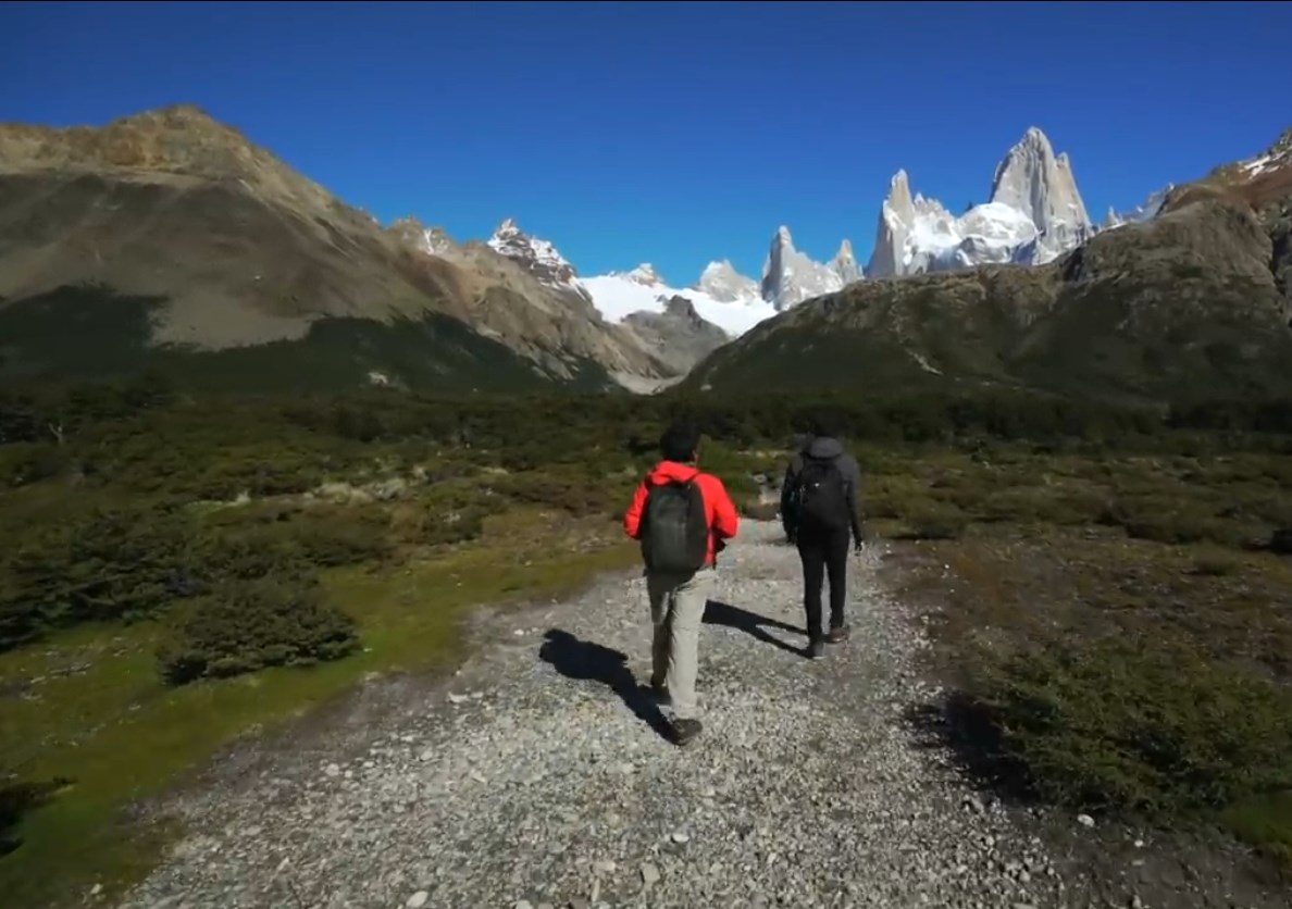
Generally in the initial part there is a lot of wind (image-2-3-4)
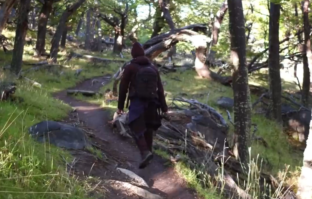
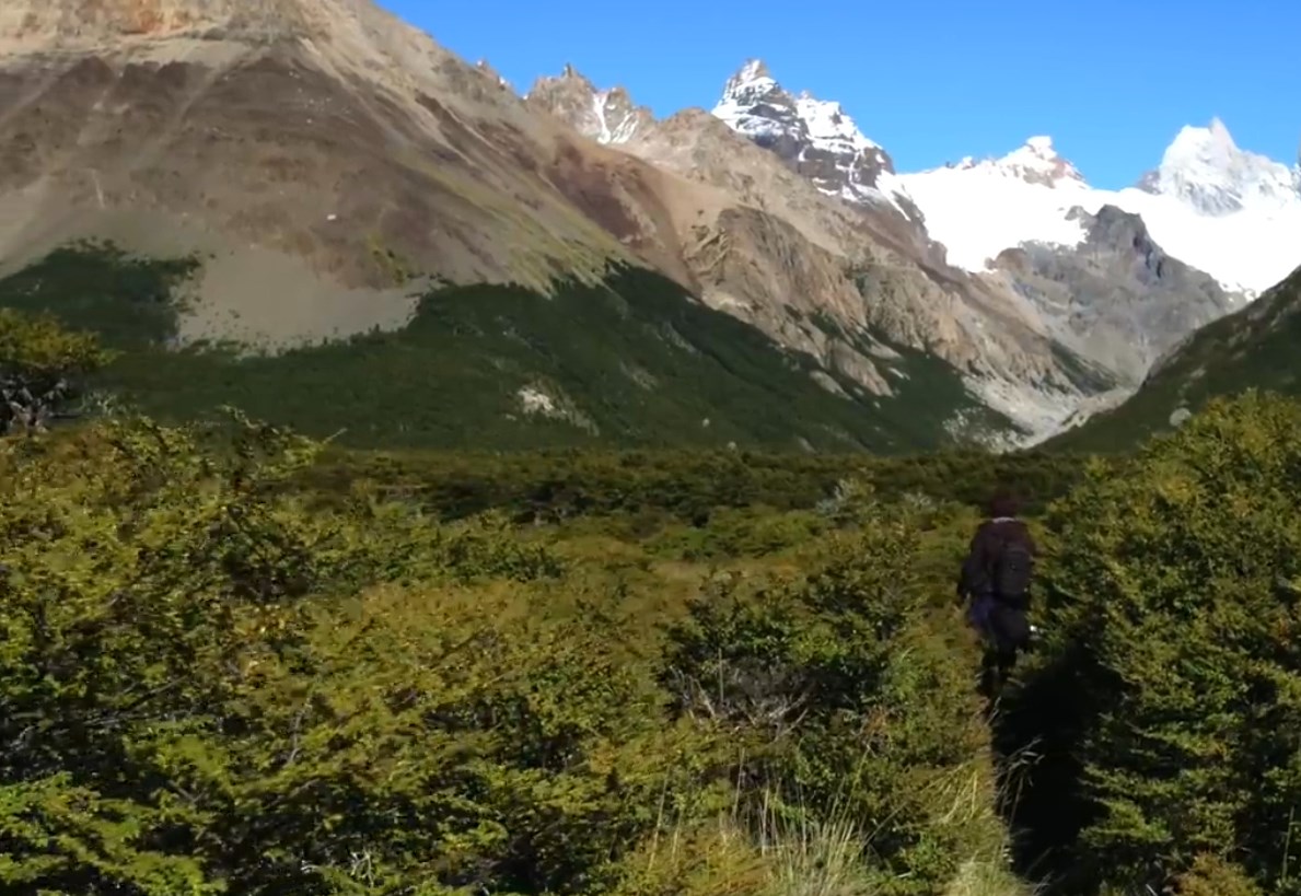
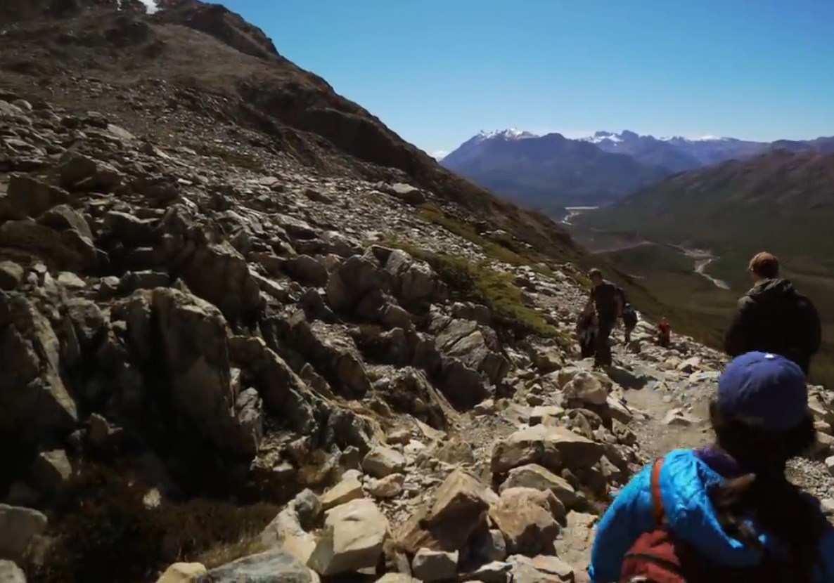
First we cross a wooded area with a discreet degree of difficulty because there are many fallen logs.

02.-Excursion-El-Calafe-Chalten-26.jpg

A beautiful day to walk.

We have been lucky. The day is beautiful. There are many that have to wait a whole week to see a sunny day like this.

02.-Excursion-El-Calafe-Chalten-7.jpg

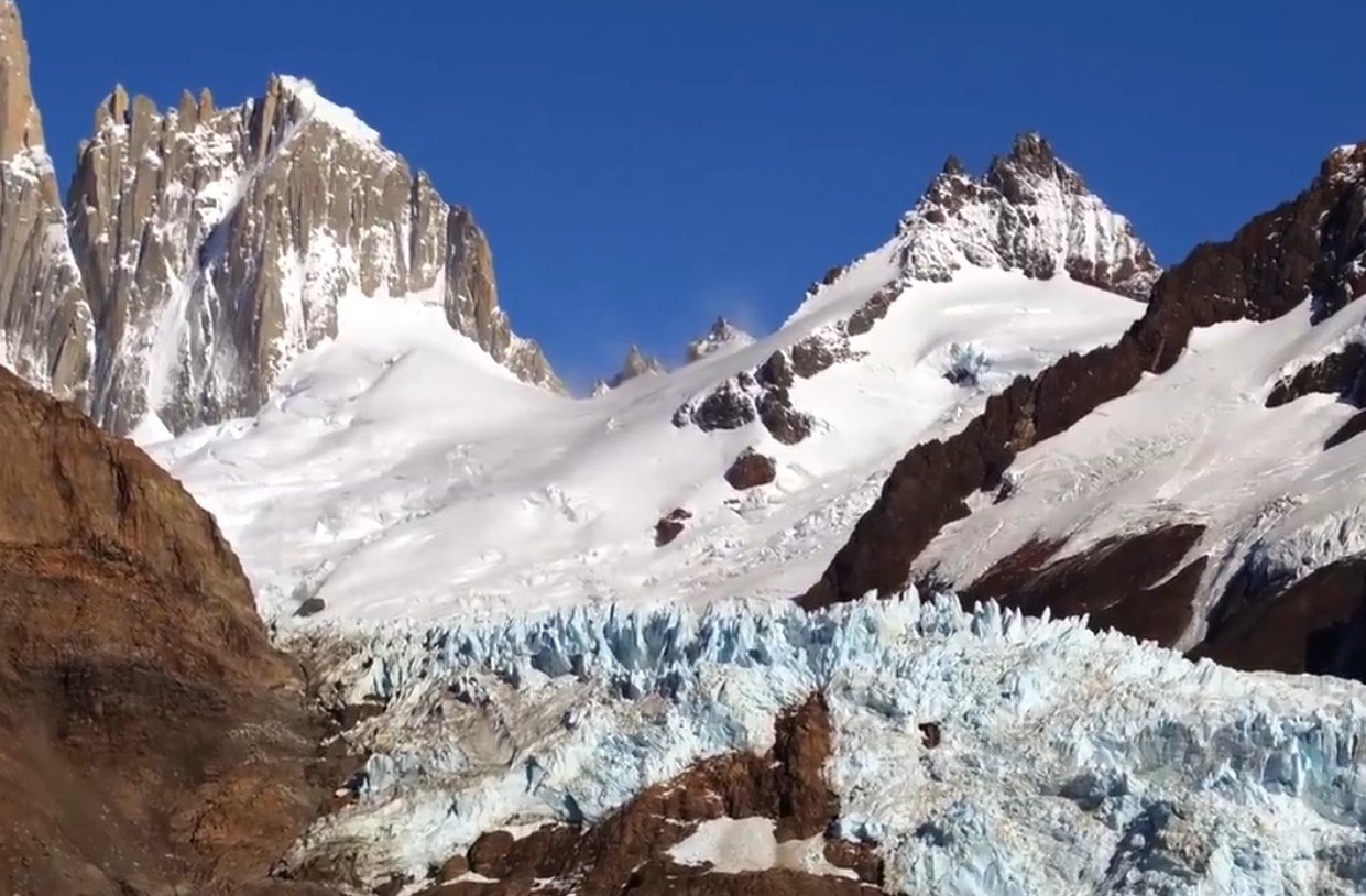
It is very important to bring water. Although later you can drink the water from the glacier.
The first stop is called ** Piedras Blancas. **

02.-Excursion-El-Calafe-Chalten-28.jpg

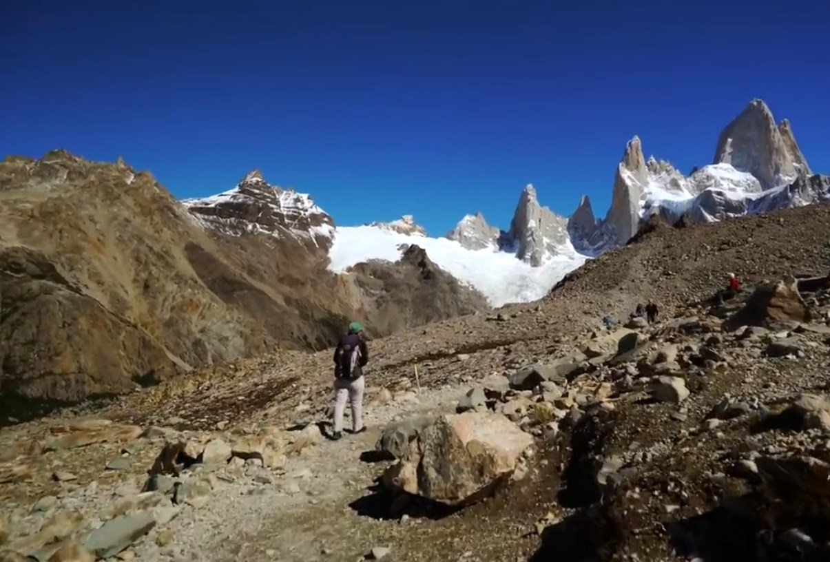
In the distance you can see Mount Chaltén

02.-Excursion-El-Calafe-Chalten-29.jpg

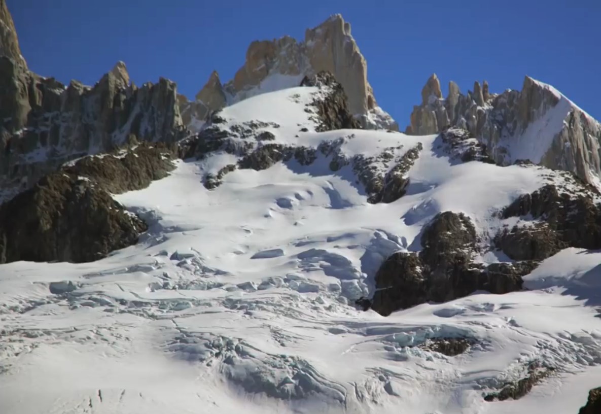
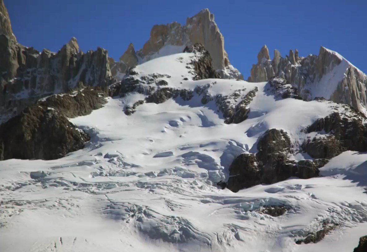
Using the maximum zoom of the photographic machine we can observe the immaculate beauty of the mountain.

02.-Excursion-El-Calafe-Chalten-30.jpg

We keep going. El Chaltén is getting closer.

02.-Excursion-El-Calafe-Chalten-11.jpg

02.-Excursion-El-Calafe-Chalten-12.jpg

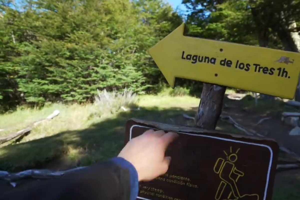
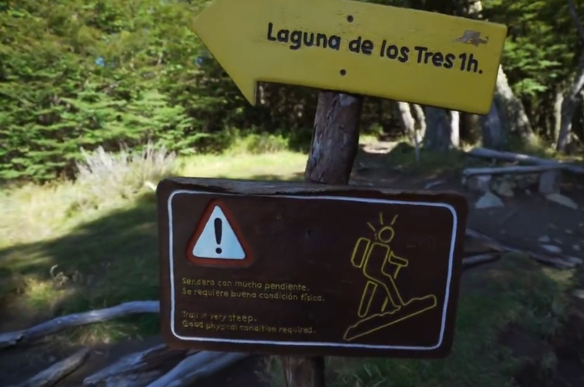
We arrive at the sign that indicates that it is only 1 km to reach the Laguna de los Tres. The most difficult part begins. It is a very steep trail.

02.-Excursion-El-Calafe-Chalten-16.jpg

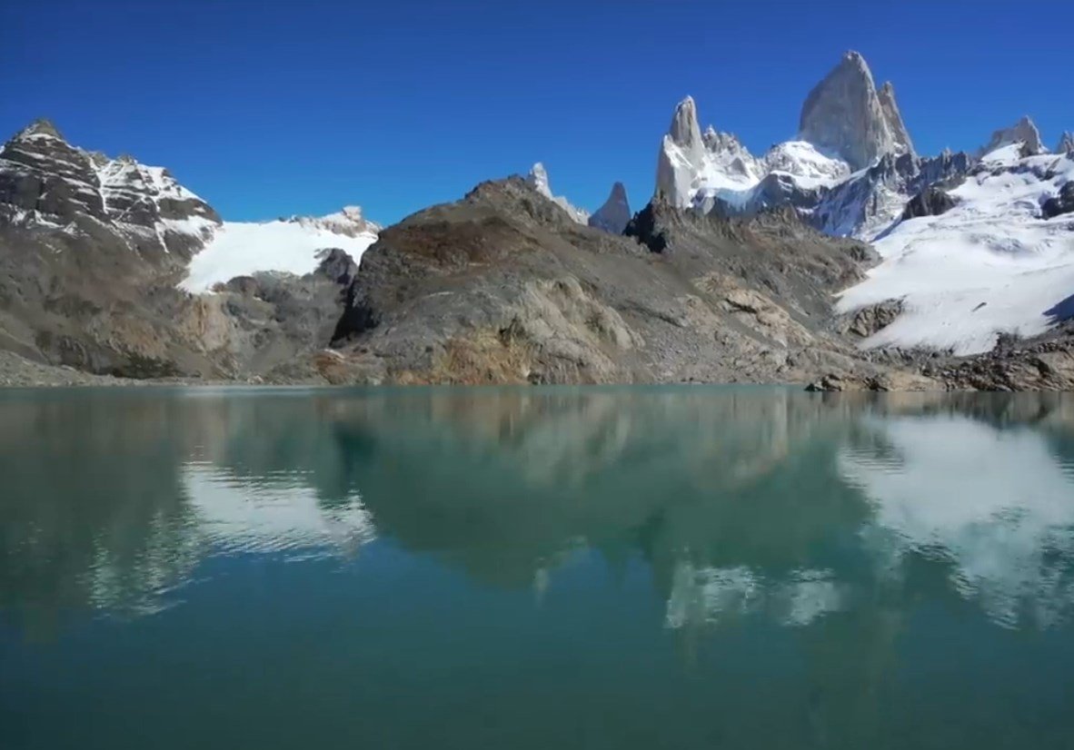
02.-Excursion-El-Calafe-Chalten-17-Laguna-de-los-Tres.jpg

In this image we see how steep and steep the climb is.

02.-Excursion-El-Calafe-Chalten-18.jpg

Every time we are closer

02.-Excursion-El-Calafe-Chalten-19.jpg

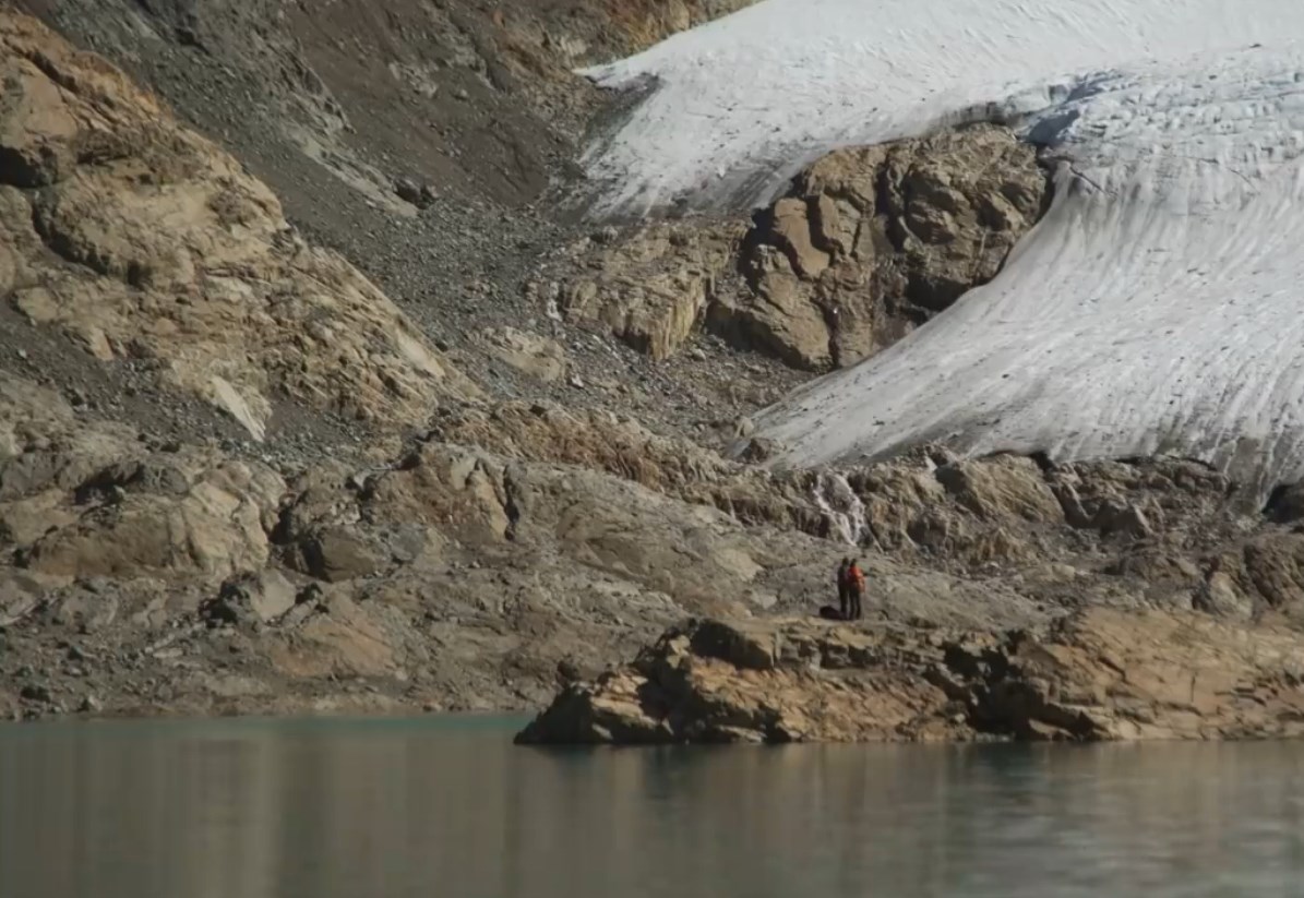
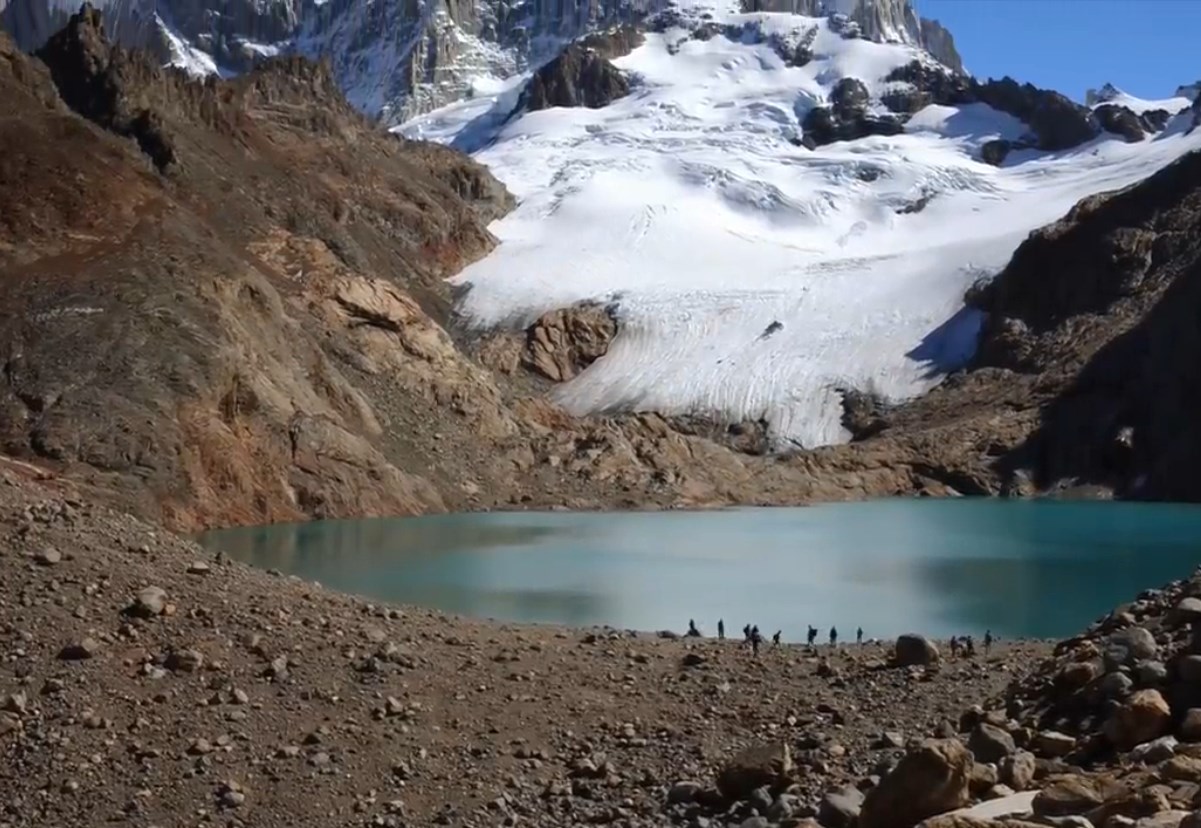
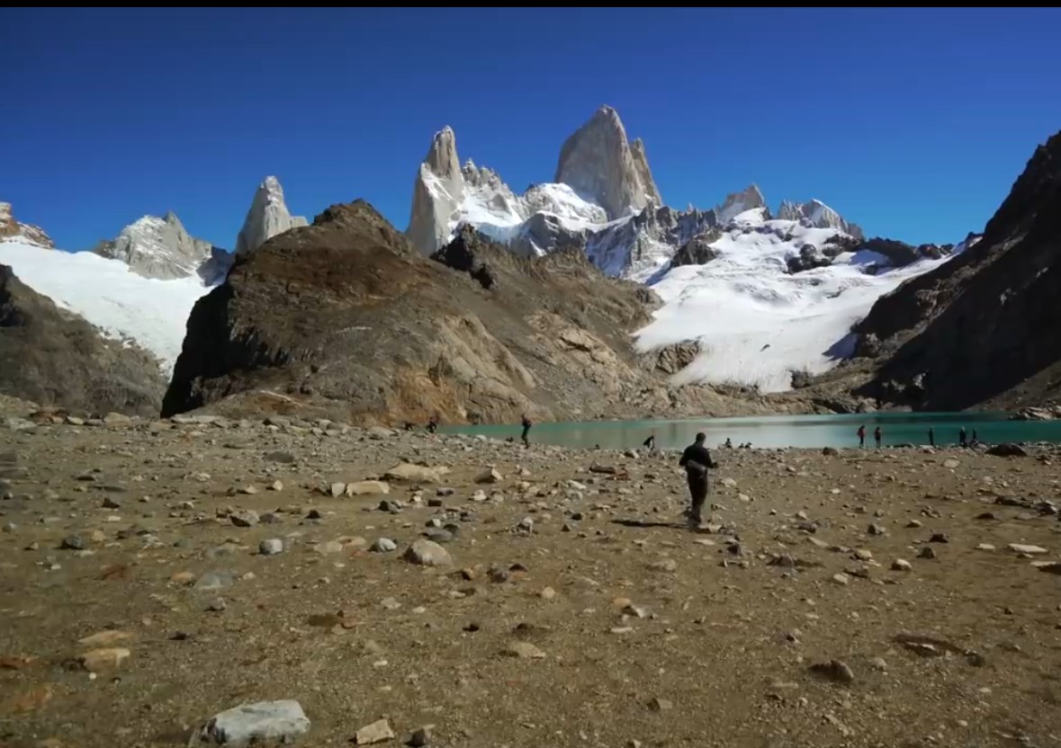
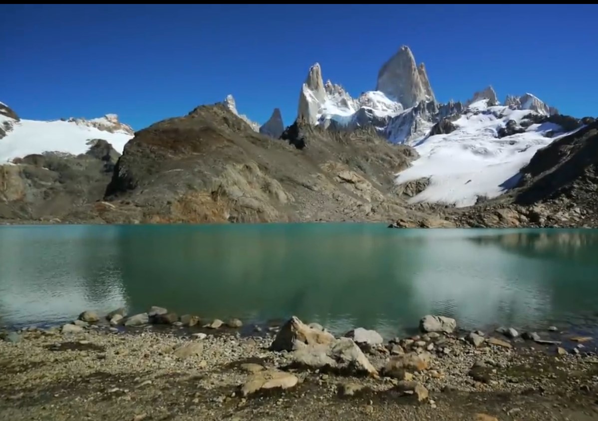
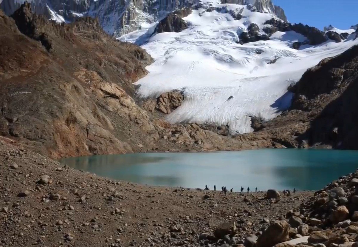
We arrived! The word spectacular does not sufficiently describe the beauty of this place.

02.-Excursion-El-Calafe-Chalten-21.jpg

02.-Excursion-El-Calafe-Chalten-22.jpg

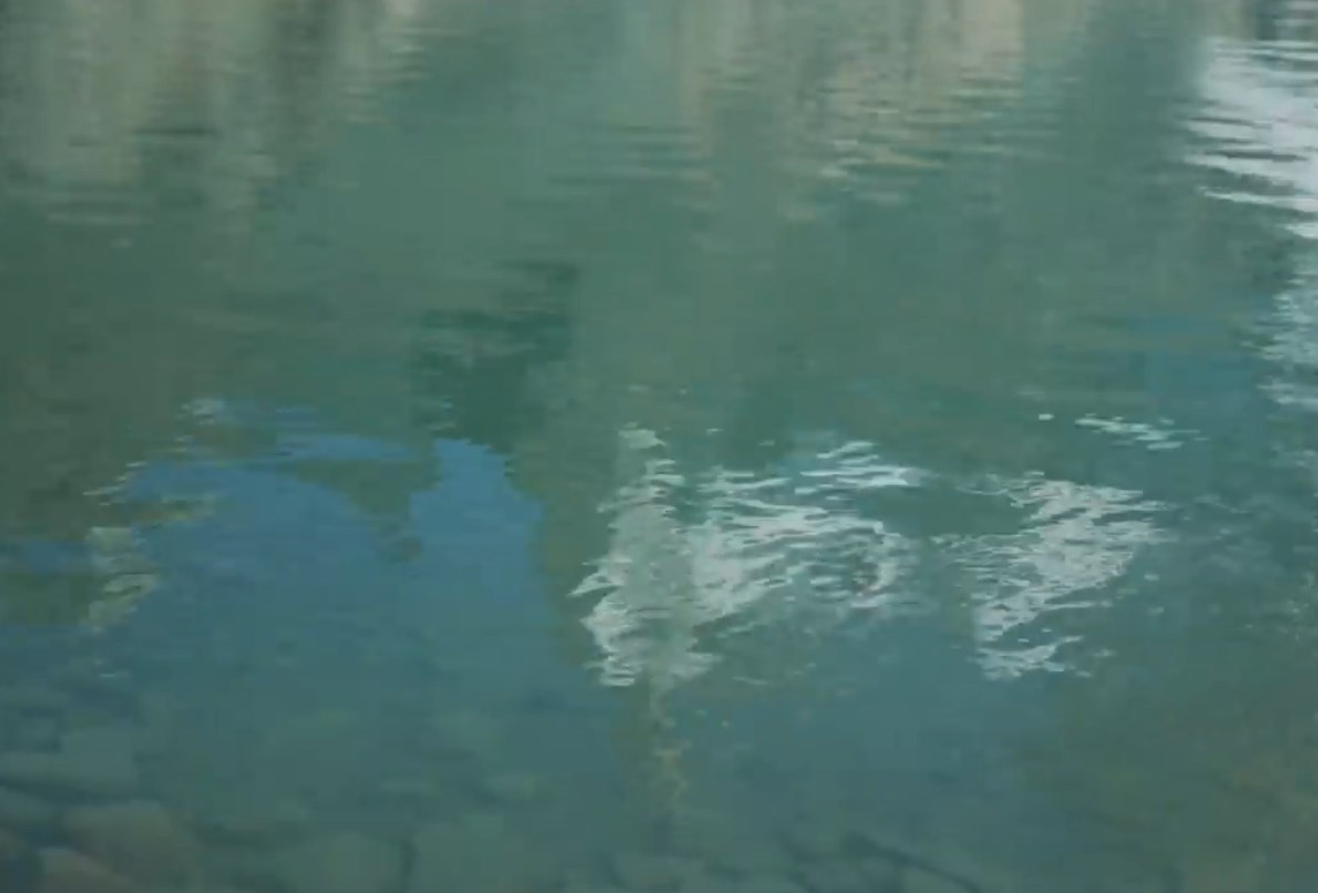
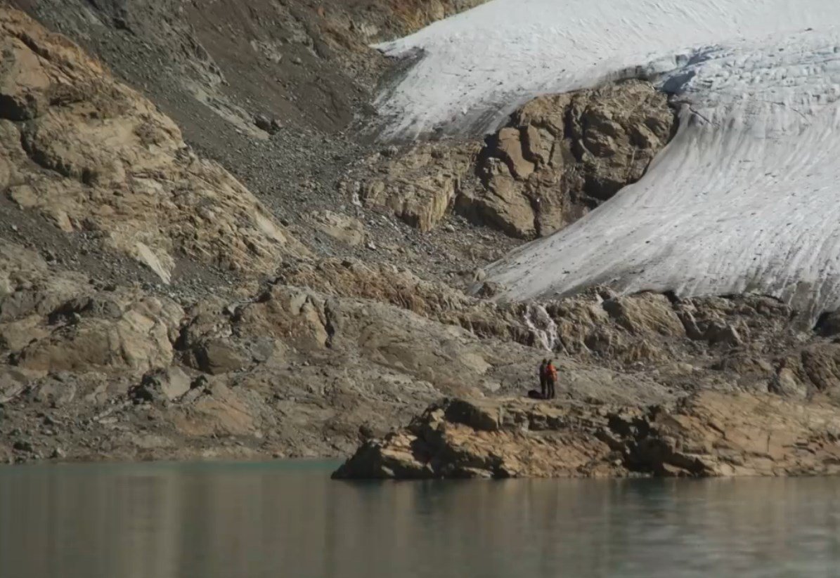
The icy waters of the glacier.

02.-Excursion-El-Calafe-Chalten-29.jpg


source: https://hive.blog/hive-174578/@patagonian-nomad/excursion-from-calafate-to-el-chalten-10-hour-walk-between-forests-and-mountains

 
Copyright © 2015 Argentina Photo Gallery
Distributed By Gooyaabi Templates
-->