F

460.-Imagen-inicial-collage-puerto-patriada.png

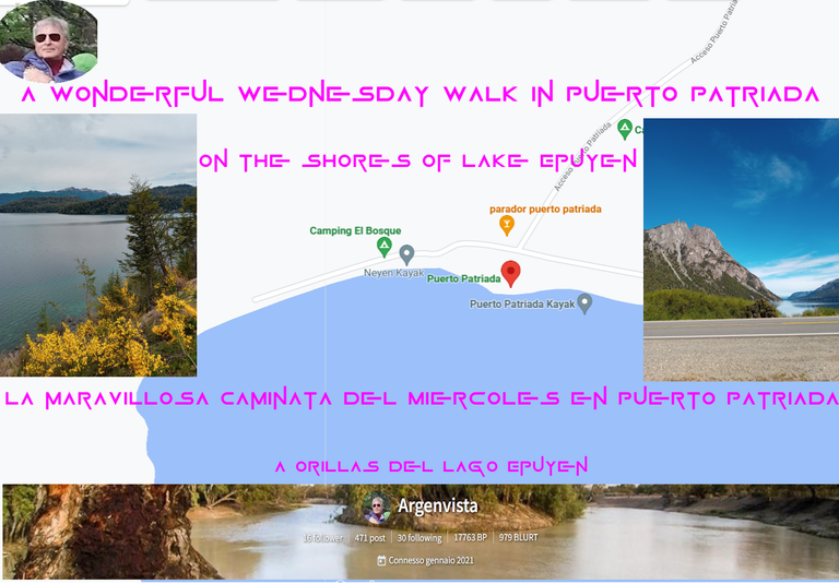
Puerto Patriada is a part of Lake Epuyén not far from where I live in El Bolsón.

No more than 20 kms separate me from this true natural wonder and it is the place where I usually spend some weekends carrying the tent and in the company of my faithful Tomy who walks and sniffs all the trails that lead to the lake and the Patagonian forest that surrounds it.

It is an ideal place to rest but also in the summer season it is very visited by people who like to dive or surf.

As it is a boxed-in lake, the waters are quite calm. Precisely tranquility is what I look for every time I come to this place.
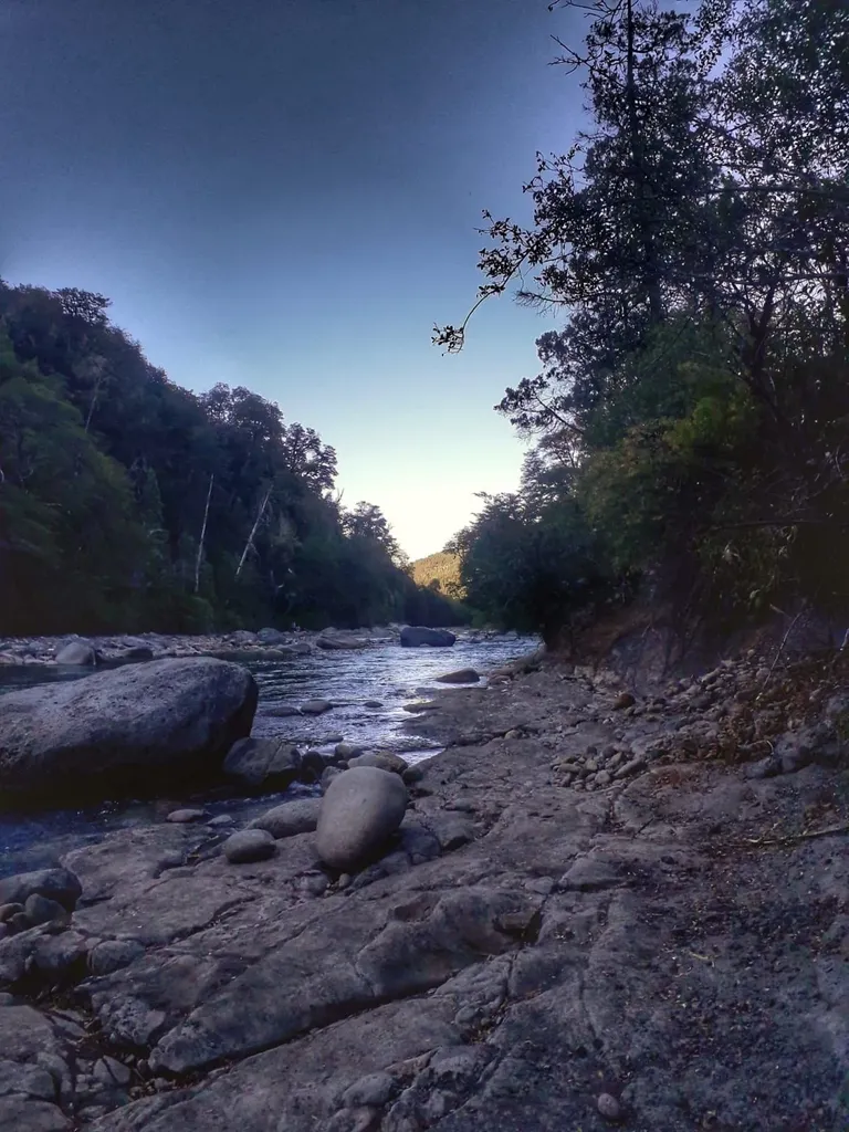
image.png

I took advantage of these first days of March that the few tourists who have come this year have already left, generally coming from the noisy and stressful life of the big cities, the first of all with its infernal rhythm and its 20 million inhabitants is Buenos Aires, luckily more than 2,000 kms away.
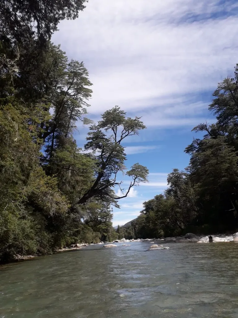
image.png

Yes, I know what you are thinking, that I made a mistake with the figures. No, they are accurate. Argentina is huge, especially from north to south. The famous route runs from one end to the other from north to south from La Quica on the border with Bolivia to Cabo Virgenes on the southern border with Chile, almost 4,000 kms while from east to west are almost 1,500 kms totaling something like about six million km2, half of Europe.
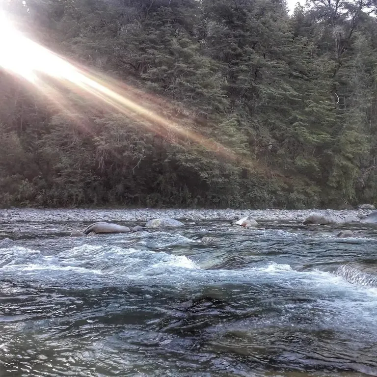
image.png

The sun that filters through the branches of the forest and ends up reflected in the waters of the water is a wonderful spectacle of nature and well worth having come.
source

213.-Infografica-Ruta-de-los-7-Lagos.png

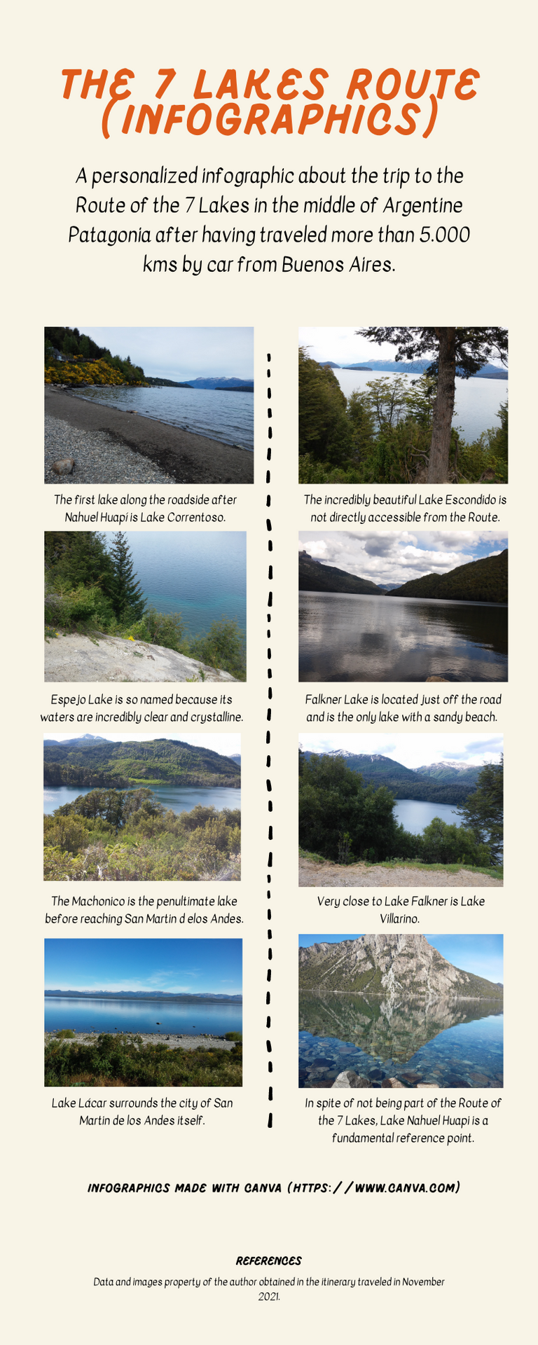
This infographic has been created to give a panoramic idea of what it means to visit the so-called Route of the 7 Lakes.

It is very difficult for those who visit this region of Argentine Patagonia to resist the temptation of traveling the Route of the 7 Lakes, famous all over the world for the wonder of its landscapes.

A splendor of nature that makes us stop the car not seven but countless times to admire a landscape so dazzling and of such a touching virginity, where there are no tourist resorts (in fact to rest you have to do it generally in Villa La Angostura or San Martin de los Andes) both end points of the route distant 110 kms from each other.

In the lakes there are camping and camping areas in general, but there are no hotels or establishments where to stay, so as not to alter with construction and mass tourism, the charm and naturalness of the region.

Some decades ago this stretch of road was not yet asphalted and for that reason it was called Camino de los 7 Lagos, today it is perfectly signposted and asphalted and it is a natural area protected by law, frequented by tourists from all over the landscape.

Normally the route is traveled in the direction San Martin de los Andes-Villa La Angostura because the panoramic viewpoints are on the edge of the road on the right side coming from that direction and are more comfortable for those traveling in the car.

We (my wife, Zeze the little pet toy and the writer) visited each Lake doing the opposite itinerary and for that reason many times we were forced to cross the road, with our eyes wide open because there are very close curves surrounded by mountains that obstruct the view of the road.

A simply wonderful trip and recommended to all those who love nature.

See you next time!

222.-Infografica-Sendero-de-las-Sombras-Lago-Puelo.jpg 

144.-20211029_110149.jpg

We have traveled more than 5,000 kms since we left Buenos Aires on our way to Patagonia and we have crossed itineraries already planned and others that have emerged as Gol devoured the kilometers in the immense Patagonian steppe.

One of the alternative routes selected is the so-called Route of the Araucarias because of the large number of these trees that we found along and across a vast expanse of territory in southern Argentina.

144.-20211029_110828.jpg

Throughout the province of Neuquén, at the foothills of the Andes Mountains, araucarias grow naturally in the squares of the mountain towns and villages, along the side of the roads, often unpaved, and of course in Andean forests and mountain slopes, serving as a frame for lakes of incredible beauty.

Arriving at Copahue in the north of the province of Neuquén and up to San Martín de los Andes, we find an ancient araucaria forest, fossilized after the passage of millions of years, perhaps the only one on the planet, in the middle of a forest vegetation of unearthly beauty.

144.-20211029_105628.jpg

To get to know and admire the beauty of this tour in its fullness, it is necessary to go through a triangle-shaped circuit, which includes the cities of Neuquén, Zapala and San Martín de los Andes.

In this part of the Andean-Patagonian forest, the araucaria is almost always associated with other native species of the region, such as the oak, the caña colihue, the coihue, the ñire and other endemic species.

144.-20211029_154203.jpg

In the town of Primeros Pinos (whose snow-covered mountains are ideal for skiing) the asphalt ends and the gravel road continues, a typical mountain road, winding with precipices, which requires driving with the utmost caution.

We continue straight ahead as if we wanted to enter the mountain range itself until Villa Pehuenia and the road begins to descend, 100 km downhill and through my centenary Sainuco and Kilca.

144.-20211030_104540_HDR.jpg

The spectacle of the journey has just begun!

Source

 
Copyright © 2015 Argentina Photo Gallery
Distributed By Gooyaabi Templates
-->