F
Showing posts with label Jujuy. Show all posts

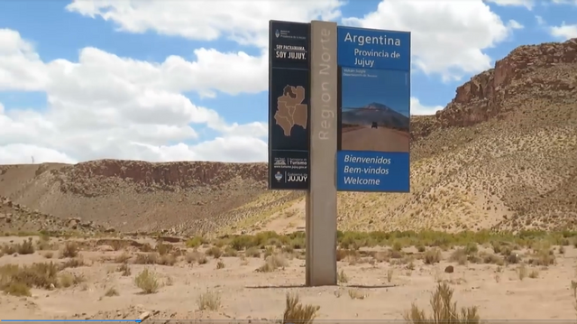
As we headed further and further north on the map, my excitement grew. The whole area was already starting to be uncharted territory for me, so I was very curious to see what things were like in that part of my country. We were already very close to achieving our improvised goal of reaching Bolivia, but along the way we were also seeing some very curious places. One obligatory stop was La Quiaca, the northernmost city in Argentina in the province of Jujuy, where we took two nights to rest and also to sort out our paperwork before crossing the border .


$1


After driving more than 180 km in the small Suzuki 4x4, we left Iruya in the province of Salta to head to La Quiaca, in the province of Jujuy. That would be our last stop in Argentina before heading to the neighboring country. It was impossible to go any further, because we were literally about to cross to the other side. However, despite being so close, we needed some time to be able to go to the ATM to withdraw cash so we could get a good exchange rate in Bolivia, try to get the yellow fever vaccine and be able to fill up with gas before crossing. For this we stayed two nights in a small hostel for which we paid $25 per night for two people


$1 $1 $1 $1


As for money, we were able to get a good amount from ATMs and this was the most convenient thing, since due to the high taxes Argentina imposes on using debit and credit cards abroad, the best option was to pay for everything with cash. Regarding the yellow fever vaccine, we had read that it was necessary but I went to the hospital and couldn't get it because it wasn't the day they were doing the vaccination campaign. I risked going to Bolivia anyway, hoping not to get sick from anything (spoiler: I didn't get sick from anything). Third, we were able to fill a jerry can with extra gasoline, which was what we wanted, since we were afraid of not getting it easily in Bolivia, since there was a rumor that they didn't sell it to foreigners .


$1 $1 $1


All of these things took up the time we decided to stay in La Quiaca. As for the city, like any border city, it is not as touristy or elegant, but it is still full of signs that highlight what distinguishes it: being the northernmost city in Argentina. There are signs everywhere for photos, and many stickers of people who wanted to leave their mark on this place. In addition, everything was quite cheap here, just like what we saw in our previous days in other northern cities .


$1 $1 $1 $1


The city of La Quiaca in Jujuy represents the northern end of the famous journey that crosses my country from end to end along Route 40, parallel to the Andes Mountains and ending in the city of Ushuaia, Tierra del Fuego province. This route covers 5,194 km and visits 11 of the 23 provinces we have in Argentina. This trip is one of the most desired by nomadic travelers, who choose to do it in different vehicles, from cars, trucks, motorcycles and motorhomes to bicycles. Being at either end of this route, whether in La Quiaca or Ushuaia, is exciting, and that is how I felt after finally getting to know this city, because I already knew Ushuaia .


$1 $1


$1
$1


$1 $1


I think that throughout this whole traveling phase of my life, which began almost a year and a half ago, I did a lot of great things and being in the northernmost and southernmost extremes of my country was one of them. When I decided that I wanted to travel a bit around the north of Argentina, I didn't think that I would literally get to La Quiaca, the furthest north we have. I really enjoyed getting to know this place, which despite being simple has a very special value for travelers and for all of us who love Argentina and love Route 40. Once again, I was able to get to know a new corner of the many we have here .


❤️ Hope you liked this post! Thanks for reading. ❤️


$1

source

Read this post on TravelFeed.io for the best experience

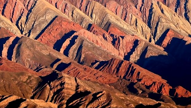
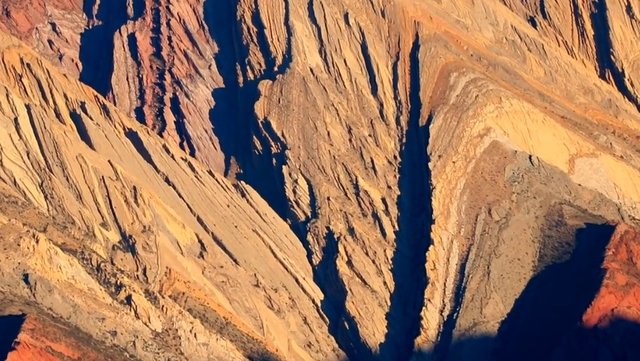
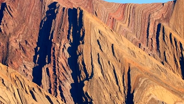
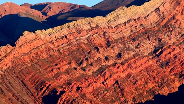
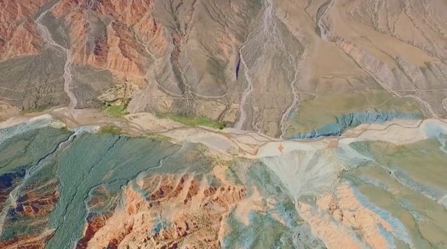
The erosion of time over millions of years has produced the characteristic form of papalela-like cuts in layers similar to folding.

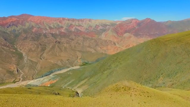
The best known landscape of the Quebrada de Humahuaca is, without a doubt, the Cerro de los 7 Colores, recognized by Unesco as a Cultural Heritage of Humanity.

If the Cerro de los 7 Colores is dazzling, the Sierras del Horconal are dazzling.

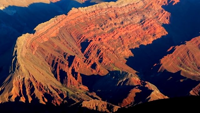
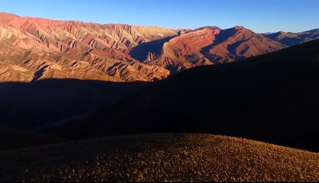
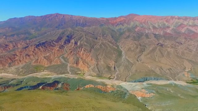
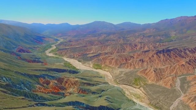
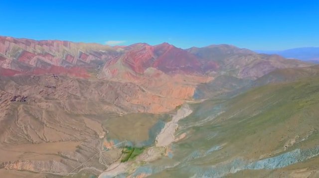
Located 25 kilometers from Humahuaca and more than 4,700 meters above sea level, the Serranía del Hornocal is one of the most impressive landscapes in Jujuy.

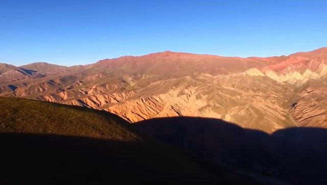
The Serranias del Hornocal are a dazzling spectacle of shapes and colors.

Less known to the public and tourism in general, but not for that reason less captivating.

The main difference between both hills is the shades.

The Sierras del Horconal concentrate twice as many shades, ranging from ocher to yellow to green and white.

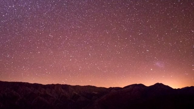
After sunset the mountains show a supernatural aspect.

The best time to contemplate it is at sunset, just before the sun goes down.

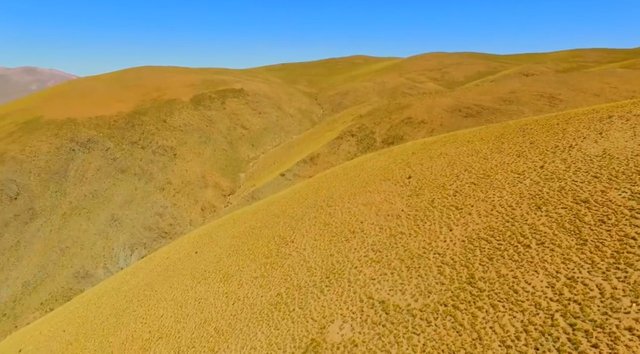
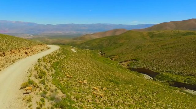
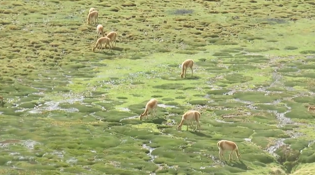
The aridity of the terrain, with some cardons and llamas as a panorama, is gradually transforming until it comes to visualize the mountains in all their splendor.

The characteristic cuts of the saws in the form of folds seen up close.

The best way to observe this spectacular natural beauty of 4,300 meters high is the viewpoint located in front of the hill.

Reaching it takes just over half an hour on a gravel road, winding and very quiet. With very little vehicle traffic that increases the majesty of the place.

33 shades of colors that are formed in the limestone that goes from ocher, to green, yellow, until reaching white.

The sun begins to drop behind the mountains are seen up close.

How to get.

You start from the city of Humahuaca and you must cross the Rio Grande by the bridge near the bus terminal.

From there, take Provincial Route 73 to Santa Ana.

The first part of the route entering the mountains shows the aridity of the terrain.

25 kms later you start to see the Serranía del Horconal.

The land is all gravel so it is advisable to walk slowly and cautiously.

Another aspect to keep in mind is that the ascent is constant and reaches 4,200 meters in height.

The work of nature in all its splendor.

If you do trekking or a part of the route on foot, it is advisable to make intermediate stops so that the body becomes acclimatized and in this way avoid the dizziness or signs, characteristic of the area.

There is a sector of the population especially representing the economic activities that have been pressing for a long time for the road to be paved.

Sunset in the sierras.

And in this way, promoting tourism that until now is limited, for the most part, to the Cerro de los Siete Colores, the Pucará, Las Paletas del Pintor, the Colorado and the entire surrounding area.

Until now, conservationists and environmental defenders have managed to keep nature intact as it has been for millions of years.

The wonderful aspect of erosion.

Image galleries are not supported by your current frontend. View this post on TravelFeed.io for the full experience.


View this post on TravelFeed for the best experience.

09.-La Ruta-40-7.png

After having completed the first stage without problems

The great journey of Route 40 in Argentina from north to south: the first stage, from La Quiaca to San Antonio de los Cobres.

and the second contemplating the wonders of the puna landscape

The great journey of Route 40 in Argentina from north to south: the second stage, reaching Abra del Acay.

he would encounter the first (mechanical) difficulties in the course of the third stage.

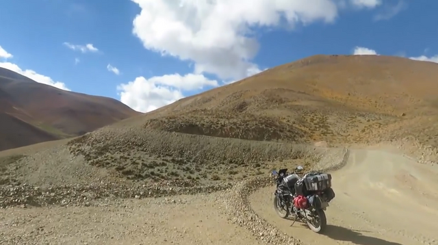
Roll and roll. It goes up and down the hill. With all senses alert.

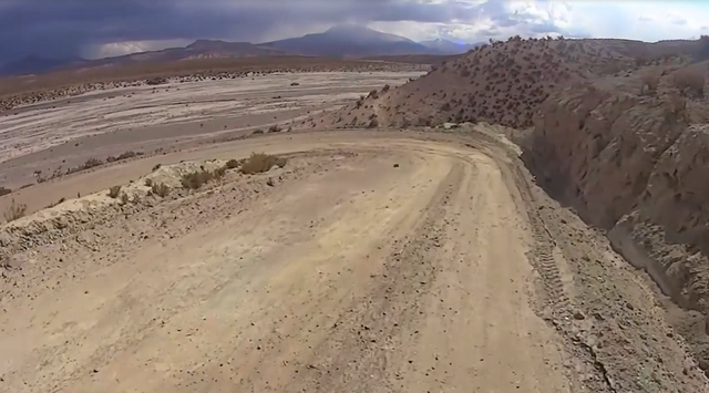
A distraction, speeding means losing control of the bike and ruining the trip. And perhaps with more serious consequences.

10.-La Ruta-40-9.png

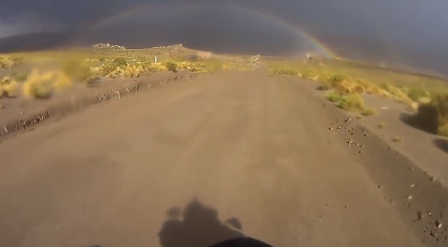
And in the middle of this spectacular landscape, a true phenomenon: the beauty of a rainbow in the middle of the Puna.

10.-La Ruta-40-10.png

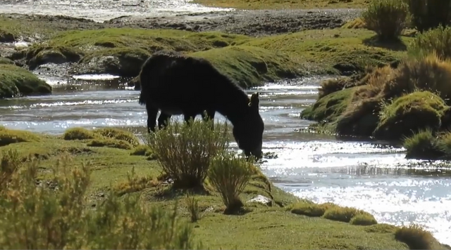
And suddenly again in the middle of the aridity of the terrain, characteristic of the Puna, the water in our journey.

Water that steadily descends from the mountains and seeps through the terrain on each decline it encounters.

10.-La Ruta-40-15.png

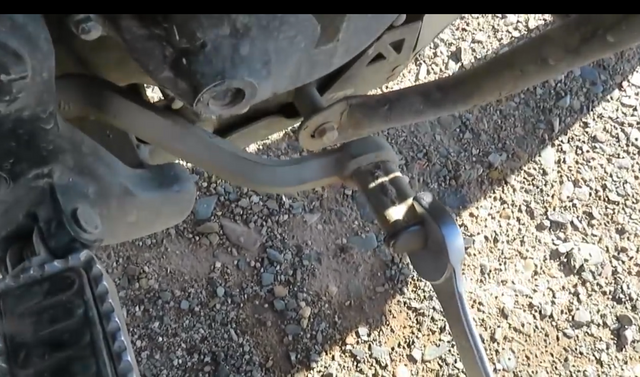
And suddenly the inevitable. I let myself be carried away by the enthusiasm and observe that endless landscape, I got distracted, I slipped and I went with the motorcycle to the ground.

Logro repararla y sigo

10.-La Ruta-40-12.png

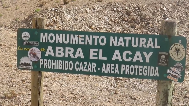
Finally I get to Abra del Acay.

The highest place on Route 40 at more than 4800 meters above sea level.

10.-La Ruta-40-13.png

The old, long-suffering and beloved motorcycle, faithful companion of so many adventures, resists.

10.-La Ruta-40-14.png

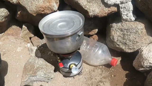
Upon reaching the top I make myself a coffee. Cafe in the clouds.

10.-La Ruta-40-16.png

source: https://hive.blog/hive-174578/@patagonian-nomad/the-great-journey-of-route-40-in-argentina-from-north-to-south-the-third-stage-a-coffee-in-the-middle-of-the-clouds

09.-La Ruta-40-se-reparte.png

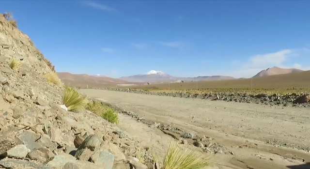
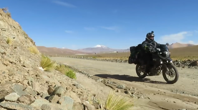
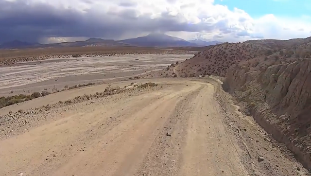
I get up early after sleeping in a school and continue my way through the gravel, the dirt and some strange and inconsistent landscapes for most of the people who believe that Route 40 is just dirt and gravel and roads in poor condition.

Sometimes the adventure happens to observe the beauty that nature offers us and not to suffer the inhospitable conditions of a route.

09.-La Ruta-40.png

Rivers and lagoons along our route. The water runs and the clouds pass.

09.-La Ruta-40-1.png

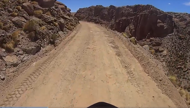
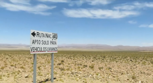
And signs warning that the road is not always advisable for any type of vehicle.

09.-La Ruta-40-2.png

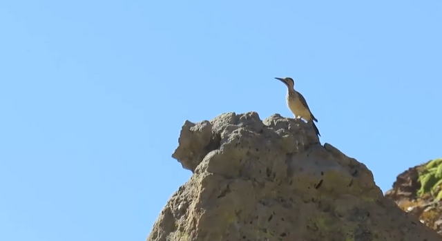
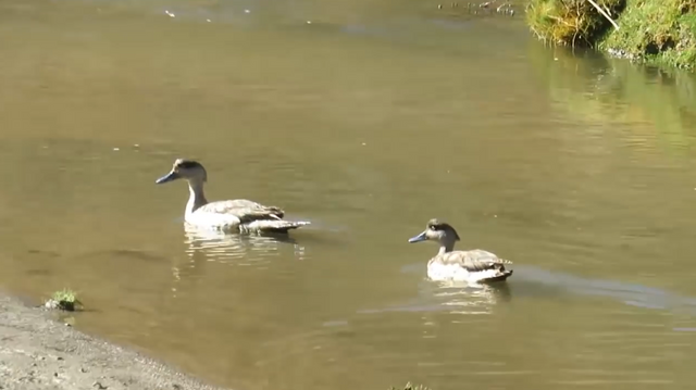
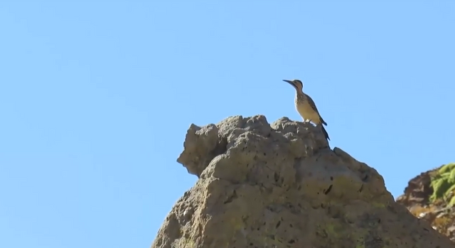
Purple mountains, yellow stones, chestnut grass and birds that curiously observe the passage of travelers.

09.-La Ruta-40-3.png

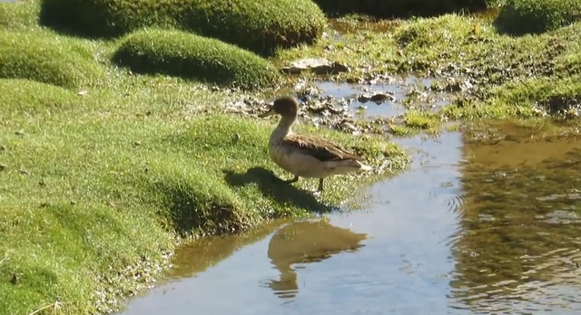
While others enjoy the disinterested water of the rest of the world.

09.-La Ruta-40-4.png

Very few vehicles in transit. Some shepherd houses and some new friends we make during the trip. The landscape is quite bleak. Lunch and continue.

09.-La Ruta-40-5.png

I fill the tank of the bike and continue.

09.-La Ruta-40-7.png

The ledge path is narrow and dangerous. You have to be very careful. I come to a place of abandoned houses. I try to stay the night but there is a lot of dirt. I get to the police station and they give me a hand allowing me to camp.

My thanks to them. In these places the police perform a different function, more humanitarian if you want. Stripped of those basic principles of her profession that are preventing crime and sometimes excessive repression. Here they are reserved. And when they can help the traveler they do it.

09.-La Ruta-fin-de-la-segunda-etapa.png

Thank you for reading!

To get more updates you can follow my blogs and / or feel free to follow me on social networks Facebook, Instagram, Medium, Pinterest, Telegram and Twitter.

 
Copyright © 2015 Argentina Photo Gallery
Distributed By Gooyaabi Templates
-->