We continue our journey through the National Parks of Argentina.
It is noteworthy that, as is customary in most of the parks and natural reserves of Argentina, admission is free and free, every day of the year.

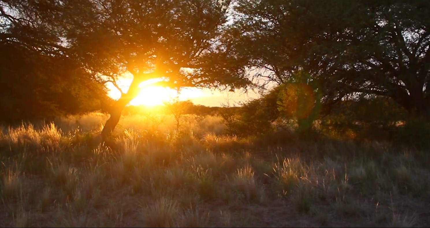
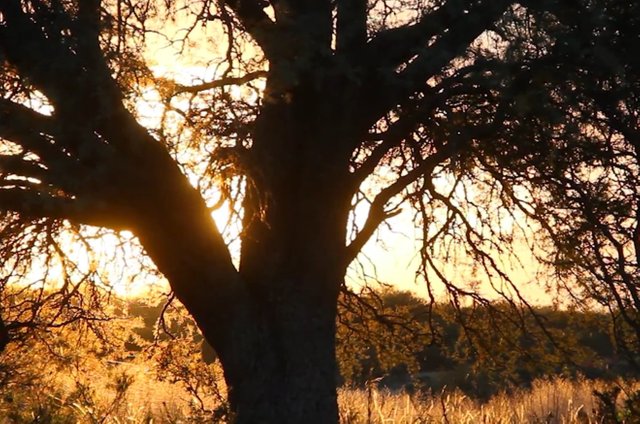
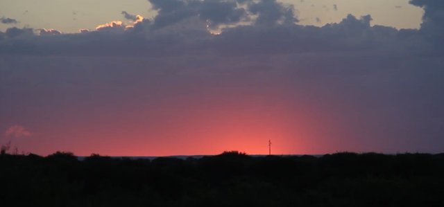
Sunset in the Rio Pilcomayo National Park
The Río Pilcomayo National Park.
The Río Pilcomayo National Park preserves a representative sample of the Eastern District of the Gran Chaco, characterized by a large plain covered with estuaries and lagoons, palm savannahs, mountain islands and riverside jungle.
The climate is temperate subtropical, with an average of 1,200 mm per year of rainfall that floods the extensive grasslands with the exception of the highlands.
The average temperature is 23º C. In summer it exceeds 40º C and in winter with several days of frost, temperatures drop below zero.

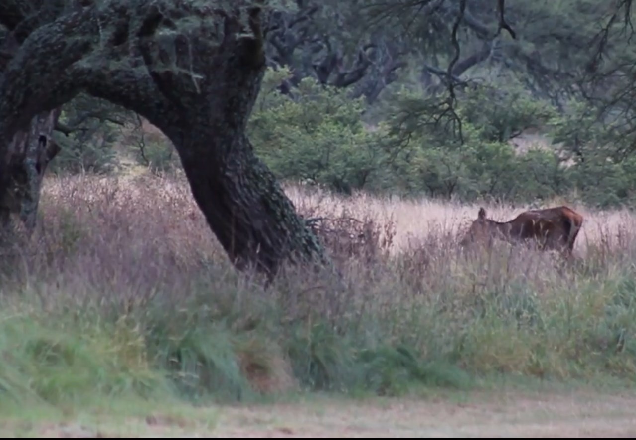
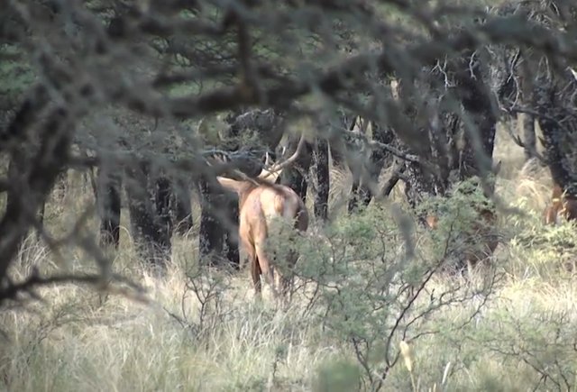
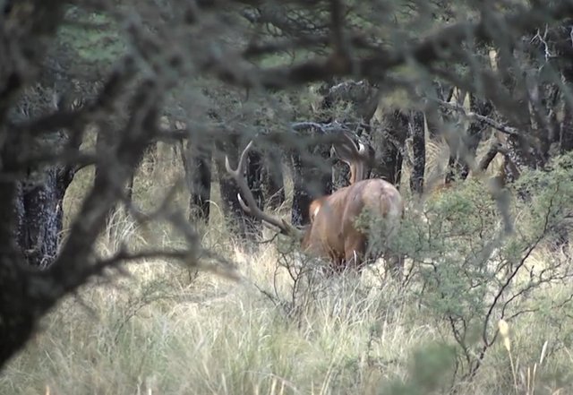
Hidden cameras are an excellent way to record the night life of many animals.
Fauna.
The fauna is adapted to this climate and stands out for its great diversity: about 322 bird species, 80 fish species, 32 amphibian species, 50 reptile species and 90 mammal species.
The emblem animal of the park is the aguara guazu, in danger of extinction. No more than 900 copies have been surveyed.

The aguará guazú is the largest of the South American foxes.
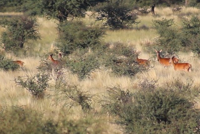
The Rio Pilcomayo National Park has the task, not only of protecting the vegetation that grows there, but also of the fauna that inhabits and feeds on it.
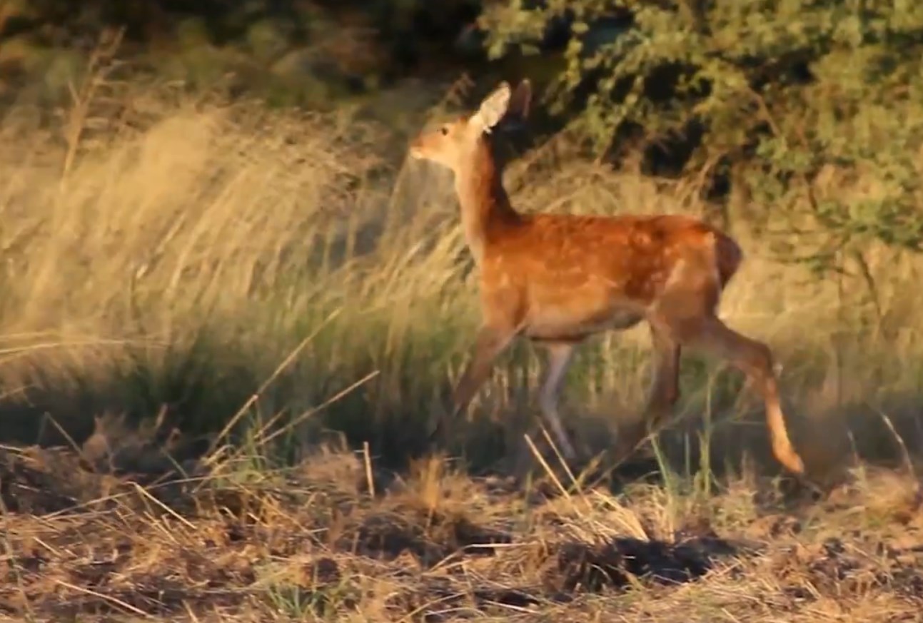
We find throughout the park yacarés, the boa curiyú, the monkey carayá, fishing bats, capybara, aguara popé, aguará guazú, coati, tapir, puma, mountain fox, river wolf, ocelot, the big anteater, and other difficult figurines.

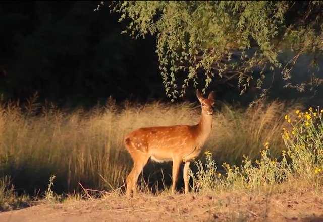
The Río Pilcomayo National Park presents a very rich fauna
We can also count (eye to the photographers) more than 300 species of birds, storks, herons, roseate spoonbills, ducks, straw-headed woodpecker, ñenday parrot, tuyuyú, the yabirú, ñandúes, groups of red-legged chuñas and many more.


The collared yetapá was declared an animal of provincial interest to protect it.

Of particular beauty, the Collared Yetapá (Alectrurus risora) is undoubtedly one of the most attractive grassland birds
Flora.
The great environmental diversity supports a varied flora, which, favored by the subtropical climate and abundance of water, develops exuberantly. In the open areas covered with Palmares de Palma Blanca, we will find a dense and continuous herbaceous cover forming beautiful grasslands.

Basketry with palm leaves is one of the artisan activities of the park
Adapted to withstand floods, they are made up of grasses such as Espartillo, which grows to 50 cm in height, the Yellow Straw and the Boba Straw.
The latter generally grows in fields covered with termite nests, known locally as "tacurúes". The high mount islets are made up of stout trees.
Examples worth mentioning are Lapacho, with beautiful pink flowers, Quebracho Colorado Chaqueño, Guayacán, Urunday and Espina Corona, among many others. Bordering the course of the Pilcomayo River, we find the Forest in Gallery.
Densely covered with vines, lianas and epiphytes we will observe enormous trees, up to 20 meters high, such as the Tarumá and the Higuerón, accompanied by Sauces Criollos, Alisos de Río and the Ingá, which vegetate on the banks.


The great environmental diversity supports a varied flora, which, favored by the subtropical climate and abundance of water, develops exuberantly.
Aquatic environments support an abundant flora, which varies in terms of its composition in spices, as we move away from the shore towards the center of the body of water.
We will first meet dense communities of Guajó, (the Guajozales) and Pirí (the Pirizales), which cover the edges of the lagoons, sometimes reaching two meters in height.
They are accompanied by Totora, Achira and Paja Brava. Towards the center of the lagoon we will find an enormous variety of floating plants such as the well-known Camalote or Aguapey, Repollitos, Helechitos and Lentejitas de Agua.
In the lowlands the estuaries extend and in the highest points, the mountain islands.
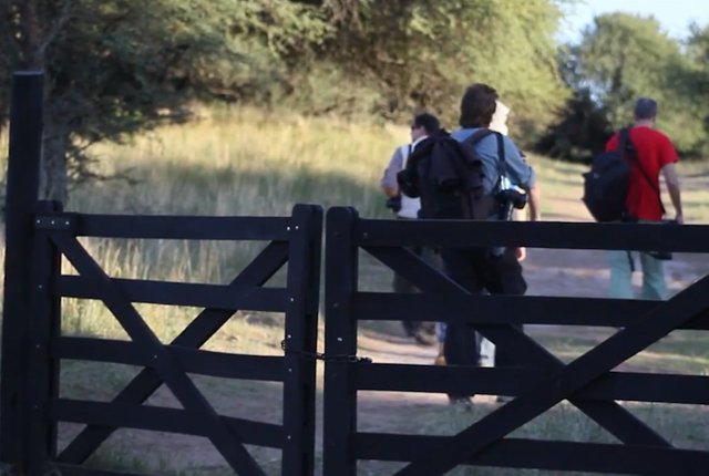
The National Park has two areas of public use for the visitor, Estero Poí and Laguna Blanca. Both have ideal conditions for recreation and recreation throughout the year. It is recommended as the best time of year to visit it from March to October.
We visited the two and we went on to tell them the most salient aspects of each.
Highlight "Estero Poí".
The most characteristic environment of the National Park is the savanna with palm trees, here the view is lost in the immense plain of green pastures dotted with caranday palms and the large termite mounds where anteaters find their food.
Its landscape is shaped by the alternation of fires and floods, from where the mountain islets emerge, patches of forest that you can enter through the trails and observe the plant species of these environments such as the red quebracho, the urunday and the guayacán, among others.
The more than 300 species of birds that the protected area houses make up one of the main attractions of the Park. They coexist with other, somewhat more elusive mammals, such as hoopoons, fur bears, bush foxes, lipped and collared peccaries, carayá monkeys and mirikiná monkeys.
 The mirikiná monkey is a typical species of the Argentine northwest.
Highlight "Laguna Blanca".
Another point of great scenic beauty is the Laguna Blanca, a large 700-hectare water mirror, which is accessed through a system of walkways, from where you can enjoy spectacular sunsets that color a landscape featuring guajós. , camalotes, pirís, and some yacarés that appear from the water.
Location: 8 km from the town of Laguna Naineck.
Services: Information office. Camping with electric light and plugs. Bathrooms with showers enabled for people with disabilities. Picnic tables. Steakhouses. Wash basins. Catwalks. Supply of treated water (non-potable).
How to access.
By vehicle: from the city of Formosa on the RN 11 to the city of Clorinda. From there, take RN 86 and travel 50 km to the town of Laguna Naineck or 60 km to Laguna Blanca. From the RN 86, which joins the two towns, 6 km and 8 km local roads depart, respectively, to the entrance gates to the National Park.
Public transport service: from anywhere in the country to the city of Formosa or Clorinda. In both places, a combination can be made towards the towns of Laguna Naineck and Laguna Blanca by the Godoy Company, Norte Bis and Flecha Bus. The buses do not reach the protected area but to the closest towns (Laguna Naineck and Laguna Blanca); Once there, you can take a taxi to reach the protected area.