F
Showing posts with label Nature. Show all posts

 Misiones-Iguazu-Falls

I did this trip two years ago with a group of retirees. I must admit that they were very funny people and had a lot of energy, even more than I did sometimes. 

It was an 18-hour drive from Buenos Aires to Misiones and they only stopped laughing, singing and dancing on the bus when it was time to sleep. 

They perfectly applied for the phrase "youth is only an attitude of the soul."

My travel goals 9 of 23: Misiones and the Falls.

During this trip we visit the Iguazú Falls, located on the border between Argentina and Brazil. 

These falls are declared a World Heritage Site and are considered one of the 7 natural wonders of the world. They deserve their titles because they are absolutely wonderful and incredible .

 Iguazu Mational Park

You can visit the falls on both sides, the Argentine and the Brazilian side. The view from Argentina is more panoramic and you can see them from the front, while on the Brazilian side the view is from above.

The day of the visit to the Argentine side was dreamed of, the hot weather and rainbows everywhere. It was excellent. I couldn't believe where so much water came from hahahahaha. I was mesmerized watching him fall without stopping.

29683699_10212007631449215_8702773278158285234_n.jpg 29694638_10212007591288211_1318457278001385013_n.jpg 19030418_10212007650649695_8151222813825747306_n.jpg

Iguazu Falls from the Brazilian side. 

But the day we went to the Brazilian side, the weather was very ugly, it was raining and it was gray.

Iguazu Falls 29598010_10212007636729347_8453237919440359752_n.jpg

The spectacular Devil's Throat.

From this side you could see from the top the so-called "Devil's Throat", which is the part where the water from the waterfalls begins to fall

Since I don't have a good photo of this day, I want to share a photo from the web so that you know what I am talking about.

This trip was really beautiful, the Iguazu falls are awesome and a landscape that I could always look at for how wonderful it is. I hope that one day you can meet them, you will not regret it .

29573235_10212007607488616_883641101172537416_n.jpg

Well, friends, I've reached my last post in my #travelgoal section (for now). So far, I've visited 9 of the 23 provinces!

All that's left is to wait for the pandemic to end and tourism to resume. I'm really looking forward to seeing what other landscapes my beautiful country has to offer!


I visited the city of Bariloche in Rio Negro on two occasions. First, I am going to talk about my last visit, which was last year. 

We went to vacation, in the month of April. The city of Bariloche is a classic winter tourist destination. 

If they ask anyone which city they have to go to see snow, they will surely mention Bariloche. 

In it, is the "Cerro Catedral", which, in addition to being a mountain, houses the most important ski center in South America.

My travel goals 6 of 23: Rio Negro. 

However, by the time we took this trip it was just beginning of fall, so there was absolutely no snow. 

But we were able to enjoy the greenest and most beautiful landscapes of all. 

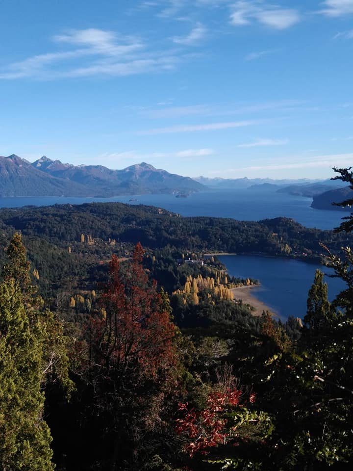
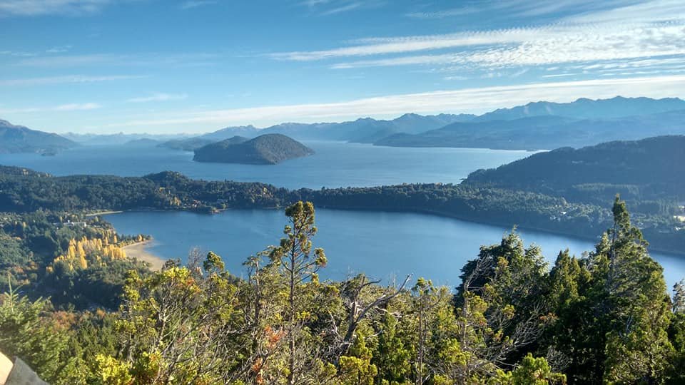
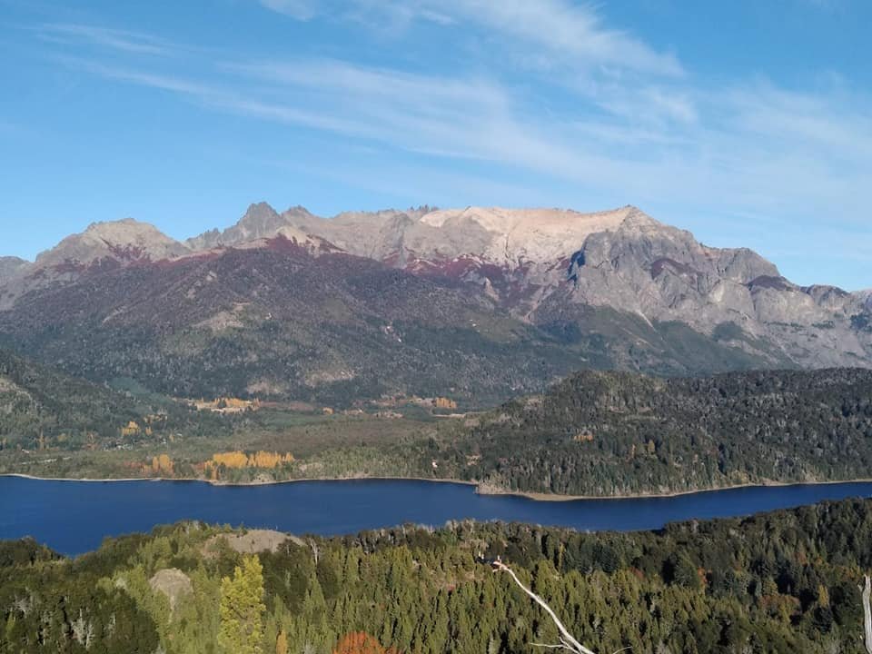
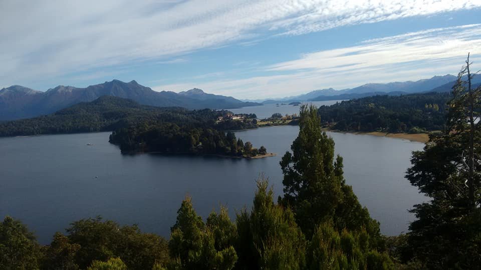
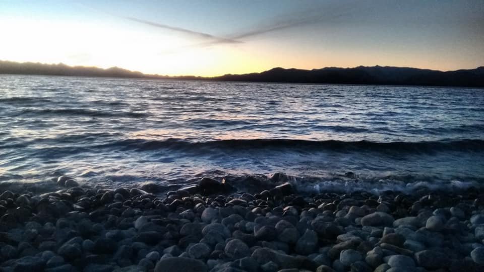
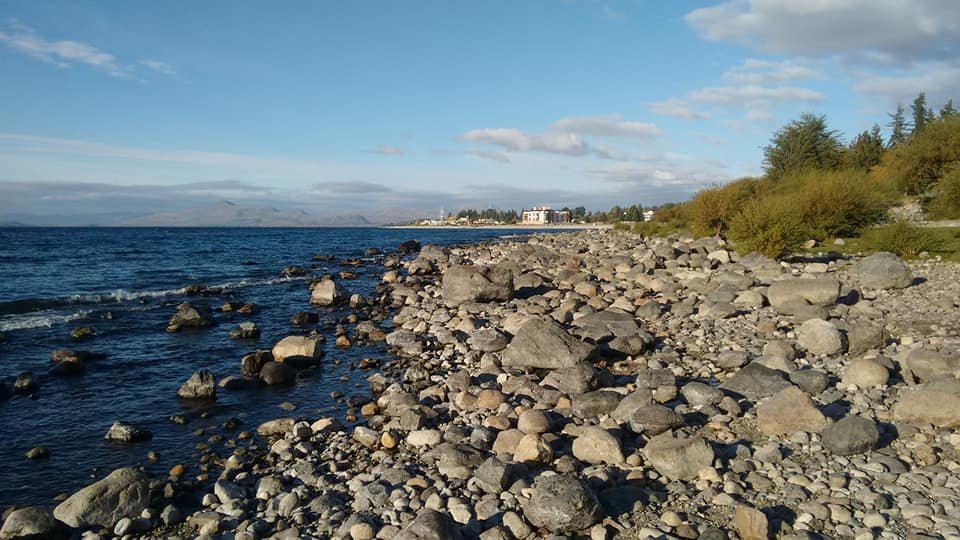
The city itself is beautiful, has many businesses and is very busy. Nearby is Lake Nahuel Huapi, with its icy waters and stone beaches. 

The city of Bariloche is a classic winter tourist destination.

We also went to Cerro Catedral, but of course there was no skiing.

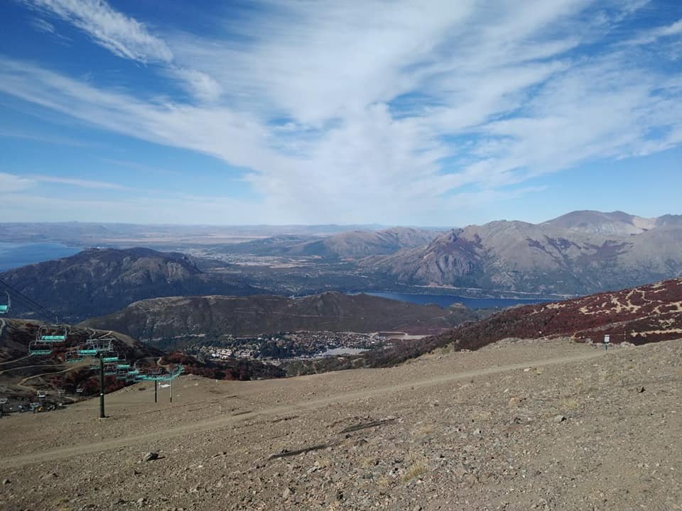
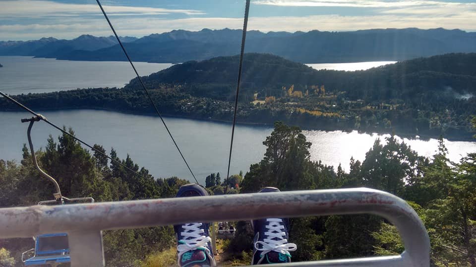
We also visit Cerro Campanario, where you access using a chairlift. From the top of the hill you can enjoy truly incredible views and there is also a cafeteria there in case you want to enjoy a snack.

San Carlos de Bariloche, Cerro Catedral

Lago Nahuel Huapi

59698274_10214595918674778_7170410405607505920_n.jpg

58961666_10214595914394671_666310475998298112_n.jpg

La mia gita di laurea (a long time ago).

Regarding my other visit to Bariloche, it is nothing less than the trip that I mentioned in my first post.

 It was the first time I made a trip away from home and it was for the school graduates trip, in August 2011. 

I was 17 years old, I was very young. On that occasion, most of my colleagues and I met snow for the first time. It was great.

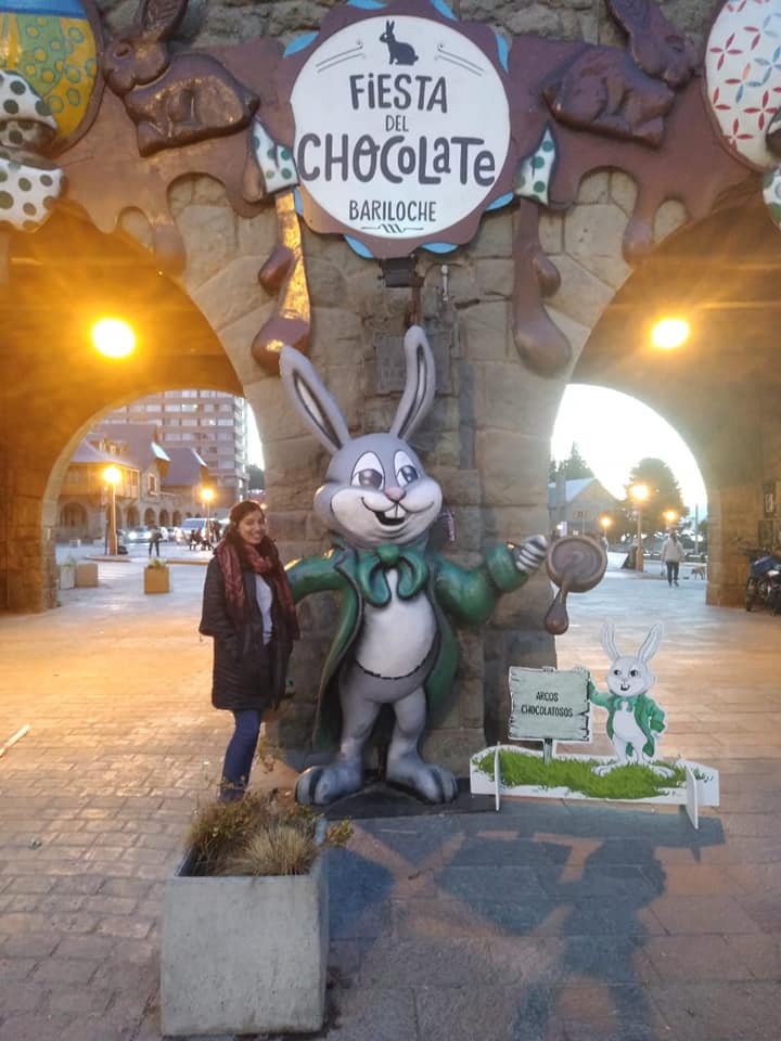
And of course, on last year's trip I had to go to the door of the hotel where I had stayed on my graduate trip to send a photo to my friends with whom I had gone. 

We promised to repeat the ride one day.


San Carlos de Bariloche, Fiesta el Chocolate

59350700_10214595899794306_3397345914552057856_n.jpg 59515229_10214595942755380_6277069714984271872_n.jpg 59183129_10214595922754880_2493788102322028544_n.jpg 59685320_10214595914234667_5308716144931110912_n.jpg

Source.

San Luis

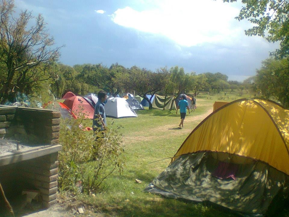
We went to the locality of Villa Larca, precisely to the Chorro de San Ignacio Tourist Complex. This consists of a campsite at the foot of the mountains from where there is access to them.

My travel goals 3 of 23: San Luis, Chorro de San Ignacio Tourist Complex. 

I did this trip as part of a student's camp when I was in college. That camp lasted a week and was attended by more than 400 college students from across the country. 

This activity is done annually in the month of January. 

A campsite at the foot of the mountains. 

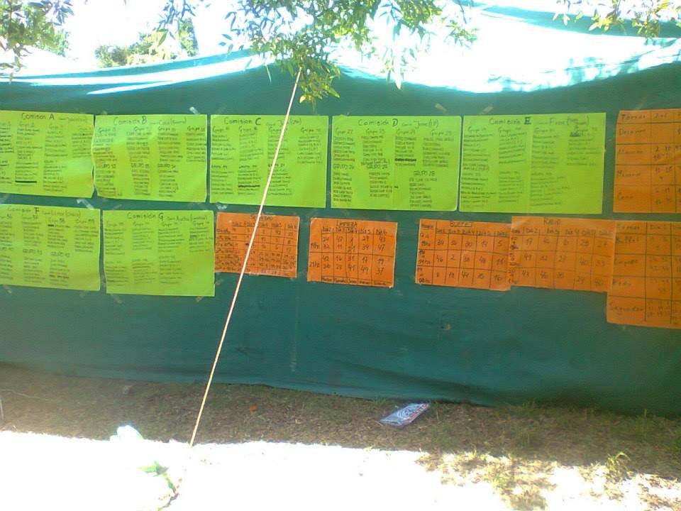
The student camp has an incredible organization: the first day groups were randomly formed and the collective tasks were distributed: preparing breakfast, lunch and dinner, washing dishes, organizing games, all for the 400 people who went! We took turns between everyone and the camp worked perfectly. 

A week of pure socialization. We woke up early in the morning, in the afternoons we enjoyed the day walking around the campsite or using the facilities, and in the nights we had some parties. Very funny!

San Luis camping san luis 4.jpg

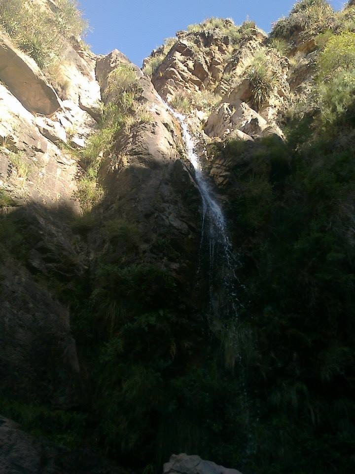
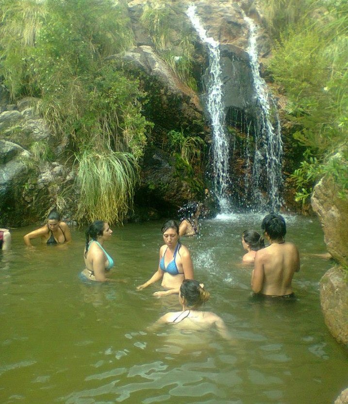
Regarding the landscape, Villa Larca has a lot of vegetation and numerous waterfalls, with trails to go through. The main attraction is the Chorro de San Ignacio, a waterfall of approximately 20 meters that falls over a lagoon.

A very nice place to go to know! 

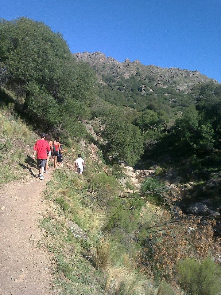
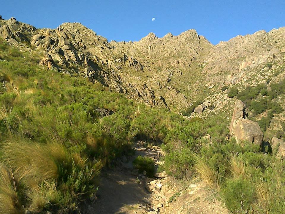
 In all these bodies of water you can bathe: the water is warm and transparent. If you walk up the path, you can reach natural balconies with beautiful views to spend the day. A very nice place to go to know!

san luis 5.jpg San Luis falls San Luis trekking San Luis mountains

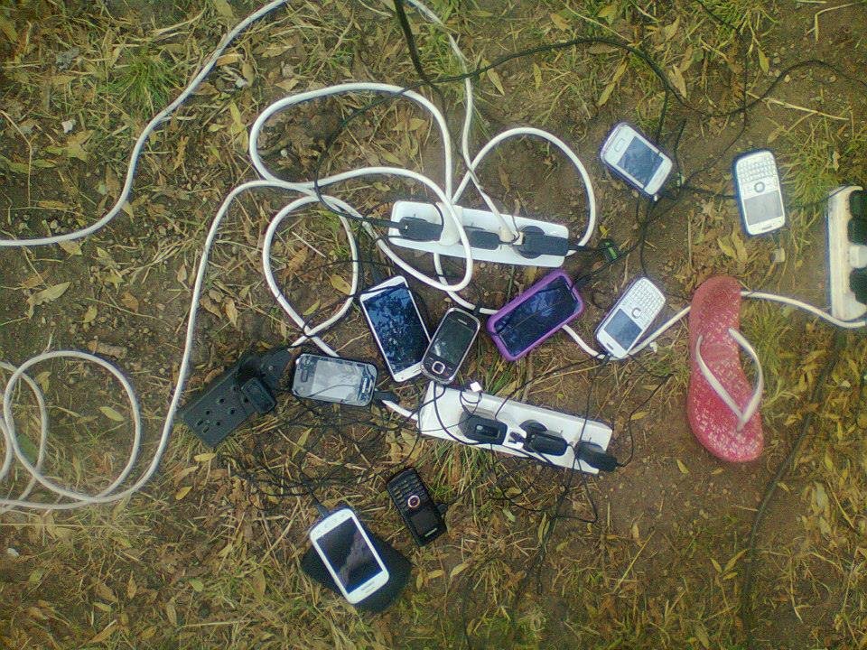
And in case you have noticed a little low quality in these photos, I will tell you that I did this trip in 2014, and these were the cell phones that were handled at that time.

cel.jpg

Source

It is one of the little explored places in the country, but it is worth knowing. The new park, of 128 thousand hectares, now represents the largest reserve in northern Argentina.

It is very difficult to find a degree of biodiversity as pure as that seen in El Impenetrable National Park.

The national park is part of what Estancia La Fidelidad used to be and extends between the provinces of Chaco and Formosa, covering an area of ​​250,000 hectares, divided by the Bermejo river.

The origin of its name lies in the difficulty of entering the area. Nature is diverse.

Lush forests. Ancient trees and mammals of exuberant beauty form the recent El Impenetrable National Park, the largest in northern Argentina.
Its 128,000 hectares make it the largest national park in northern Argentina.

The Impenetrable is a must-see for lovers of hiking and nature.

Under the premise of preserving the Chaco forest and the diverse species of flora and fauna that inhabit it, National Parks protects its 130,000 hectares from times prior to its creation, in 2017.

Why should we know this place?

The Impenetrable today constitutes one of the few, best preserved and largest green lungs in Latin America.
For many years, the site was used as a sports hunting ground. Domestic animals, indiscriminate logging and hunting put their biodiversity and ecological sustainability in check, causing the extinction of many species and the decrease of others, such as the jaguar, anteater, tapir and crowned eagle, among others.

Entering the park implies observing the life of the forest and the interaction between its inhabitants, as well as finding out about the importance of its preservation, both for the species and for the health of the planet.

Location.

The Impenetrable is located within the Gran Chaco ecoregion, which also extends to the Northwest of Córdoba and in the countries of Bolivia and Paraguay.
It is the third largest forest area in South America, after the Amazon and the Cerrado, in Brazil.
The brand new National Park protects the last redoubt of virgin forest, the third in importance in South America.
Tourist promotion of the park is presented as an alternative to traditional economic activities in the area. An example is the replacement of livestock with the sustainable creation of non-wood products, such as bush honey, carob flour and crafts in chaguar.
It is very clear that preserving and producing is possible.

The National Parks constitute the most important protected natural areas in Argentina.

They conserve biodiversity and ecosystems; they protect paleontological and archaeological sites; they promote environmental education, scientific research and nature tourism.
We start touring the El Impenetrable National Park.

Fauna.

The Impenetrable, thanks to its recovery, became the ideal habitat for many critically endangered species and others threatened with extinction, such as the yaguareté, the carreta tatú, three types of peccaries, the anteater, the crowned eagle and the boa rainbow.
The yarará is a poisonous snake native to South America.
The high biodiversity and native forest of this nature reserve, which is in a very good state of conservation, is home to hundreds of species of birds, including the yabiré, the talking parrot, the black woodpecker, the charata, the rayador and the espinero fron reddish.
The Impenetrable houses endangered fauna such as the jaguar, the anteater, the tapir.

Flora.

In the El Impenetrable National Park there are carob forests. The quebrachos white and red from Santiago stand out.

Other species of the tree canopy are the palo santo, mistol, viraró, itín, moradillo, saucillo, molle, talas, chañar, Capparis, the drunk palo de flor blanca or yuchán and large cactus.
A specimen of drunk stick round tree top and beautiful flowers.
The albardones that border the Bermejo river abound with forests of river alder, Creole willow, and yellowwood. Somewhat farther from the river there are examples of soap stick and stone stick.
The carob tree is the most widespread tree in El Impenetrable and the most subject to illegal logging.
The quimilero peccary is the largest in the country and an exclusive species in the Chaco region that is in serious danger of extinction, mainly due to hunting and the disappearance of its habitat.
The Chaco land tortoise inhabits semi-arid chaco forests.
The Chaco region is the second largest block of forests in South America after the best-known Amazon region.
Snakes, tapirs, peccaries, corzuelas (fawns), rheas and all kinds of animals walk in herds still elusive
The trips to the center of the Argentine jungle were the inspiration for the famous storyteller Horacio Quiroga to write his successful anthology "Tales from the jungle", a work that realistically shows the variety of animals that populate the impenetrable missionary and Chaco forest.
There are around 40 national parks, and there are hundreds of protected properties, at least in theory, under provincial, municipal and even privately managed jurisdictions.
The road to lake Steffen is gorgeous. It runs across lenga (White Oak), coihue, and colihue canes woods, and goes down to the lake that lies between the mountains.

Located 55 kilometers (35 miles) from Bariloche on Route 40 (former 258) heading to El Bolsón. About 20 kilometers (12 miles) further on, after passing by the entrance to Los Alerces waterfall, another entrance to the right shows the way to Steffen lake (following an unpaved road).
Lake Steffen is located within the Nahuel Huapi National Park.

Lake Steffen a heavenly place in a completely natural environment.

Then you reach a fork in the road: one road goes on for about three kilometers (about2 miles) up to a viewpoint where you'll get a panoramic view of lake Steffen and from there you can reach Martín lake.

The other road, quite sharp in some sections, takes you to the lake and campsite located about 10 kilometers (6 miles) further up the road, which is unpaved.
The dominant vegetation is that of a dense forest, with high coihues and lengas.


How to get to Steffen Lake.


The route that connects Bariloche with El Bolsón has many landscapes, lakes and places to visit and one of them is Lake Steffen, which can be accessed by walking a few kilometers from Bariloche.

A paradisiacal place like few for the calm of its waters with little waves and the environment that the mirror of water still maintains its natural profile, make Lake Steffen one of the recommended sites in its passage through Patagonia.

Across the Manso River, the lake belongs to the Pacific Ocean basin, like several other lakes in southern Argentina.

An unchanged natural environment.


It is not a massively visited place, so its landscapes remain almost untouched and it is located within the Nahuel Huapi National Park, in a region where the Andean Patagonian forest remains intact, without degradation due to cultivation, urbanization or fires.

The dominant vegetation is that of a dense forest, with high coihues and lengas, and with a moderate presence of aquatic vegetation on the banks of the lake, which is sandwiched and framed between high ravines.


Sport fishing.


In addition, those who visit the site will be able to practice sport fishing and obtain a large number of salmonids, since when they are part of the Manso river basin, large trout arrive at the lake.

Due to its beauty, Lake Steffen is one of the sections of the Patagonian Huella Andina trail, which has an extension of more than 500 km and connects Esquel (Chubut) with Aluminé (Neuquén).

Papyrus_PNG_Clipart_Image-1000x737.png

We continue our journey through the National Parks of Argentina.

It is noteworthy that, as is customary in most of the parks and natural reserves of Argentina, admission is free and free, every day of the year.

Sunset in the Rio Pilcomayo National Park

The Río Pilcomayo National Park.

The Río Pilcomayo National Park preserves a representative sample of the Eastern District of the Gran Chaco, characterized by a large plain covered with estuaries and lagoons, palm savannahs, mountain islands and riverside jungle.

The climate is temperate subtropical, with an average of 1,200 mm per year of rainfall that floods the extensive grasslands with the exception of the highlands.

The average temperature is 23º C. In summer it exceeds 40º C and in winter with several days of frost, temperatures drop below zero.

Hidden cameras are an excellent way to record the night life of many animals.

Fauna.

The fauna is adapted to this climate and stands out for its great diversity: about 322 bird species, 80 fish species, 32 amphibian species, 50 reptile species and 90 mammal species.

The emblem animal of the park is the aguara guazu, in danger of extinction. No more than 900 copies have been surveyed.

The aguará guazú is the largest of the South American foxes.

The Rio Pilcomayo National Park has the task, not only of protecting the vegetation that grows there, but also of the fauna that inhabits and feeds on it.

We find throughout the park yacarés, the boa curiyú, the monkey carayá, fishing bats, capybara, aguara popé, aguará guazú, coati, tapir, puma, mountain fox, river wolf, ocelot, the big anteater, and other difficult figurines.

The Río Pilcomayo National Park presents a very rich fauna

We can also count (eye to the photographers) more than 300 species of birds, storks, herons, roseate spoonbills, ducks, straw-headed woodpecker, ñenday parrot, tuyuyú, the yabirú, ñandúes, groups of red-legged chuñas and many more.

The collared yetapá was declared an animal of provincial interest to protect it.

Of particular beauty, the Collared Yetapá (Alectrurus risora) is undoubtedly one of the most attractive grassland birds

Flora.

The great environmental diversity supports a varied flora, which, favored by the subtropical climate and abundance of water, develops exuberantly. In the open areas covered with Palmares de Palma Blanca, we will find a dense and continuous herbaceous cover forming beautiful grasslands.

Basketry with palm leaves is one of the artisan activities of the park

Adapted to withstand floods, they are made up of grasses such as Espartillo, which grows to 50 cm in height, the Yellow Straw and the Boba Straw.

The latter generally grows in fields covered with termite nests, known locally as "tacurúes". The high mount islets are made up of stout trees.

Examples worth mentioning are Lapacho, with beautiful pink flowers, Quebracho Colorado Chaqueño, Guayacán, Urunday and Espina Corona, among many others. Bordering the course of the Pilcomayo River, we find the Forest in Gallery.

Densely covered with vines, lianas and epiphytes we will observe enormous trees, up to 20 meters high, such as the Tarumá and the Higuerón, accompanied by Sauces Criollos, Alisos de Río and the Ingá, which vegetate on the banks.


The great environmental diversity supports a varied flora, which, favored by the subtropical climate and abundance of water, develops exuberantly.

Aquatic environments support an abundant flora, which varies in terms of its composition in spices, as we move away from the shore towards the center of the body of water.

We will first meet dense communities of Guajó, (the Guajozales) and Pirí (the Pirizales), which cover the edges of the lagoons, sometimes reaching two meters in height.

They are accompanied by Totora, Achira and Paja Brava. Towards the center of the lagoon we will find an enormous variety of floating plants such as the well-known Camalote or Aguapey, Repollitos, Helechitos and Lentejitas de Agua.

In the lowlands the estuaries extend and in the highest points, the mountain islands.

The National Park has two areas of public use for the visitor, Estero Poí and Laguna Blanca. Both have ideal conditions for recreation and recreation throughout the year. It is recommended as the best time of year to visit it from March to October.

We visited the two and we went on to tell them the most salient aspects of each.

Highlight "Estero Poí".

The most characteristic environment of the National Park is the savanna with palm trees, here the view is lost in the immense plain of green pastures dotted with caranday palms and the large termite mounds where anteaters find their food.

Its landscape is shaped by the alternation of fires and floods, from where the mountain islets emerge, patches of forest that you can enter through the trails and observe the plant species of these environments such as the red quebracho, the urunday and the guayacán, among others.

The more than 300 species of birds that the protected area houses make up one of the main attractions of the Park. They coexist with other, somewhat more elusive mammals, such as hoopoons, fur bears, bush foxes, lipped and collared peccaries, carayá monkeys and mirikiná monkeys.

The mirikiná monkey is a typical species of the Argentine northwest.

Highlight "Laguna Blanca".

Another point of great scenic beauty is the Laguna Blanca, a large 700-hectare water mirror, which is accessed through a system of walkways, from where you can enjoy spectacular sunsets that color a landscape featuring guajós. , camalotes, pirís, and some yacarés that appear from the water.

Location: 8 km from the town of Laguna Naineck.

Services: Information office. Camping with electric light and plugs. Bathrooms with showers enabled for people with disabilities. Picnic tables. Steakhouses. Wash basins. Catwalks. Supply of treated water (non-potable).

How to access.

By vehicle: from the city of Formosa on the RN 11 to the city of Clorinda. From there, take RN 86 and travel 50 km to the town of Laguna Naineck or 60 km to Laguna Blanca. From the RN 86, which joins the two towns, 6 km and 8 km local roads depart, respectively, to the entrance gates to the National Park.

Public transport service: from anywhere in the country to the city of Formosa or Clorinda. In both places, a combination can be made towards the towns of Laguna Naineck and Laguna Blanca by the Godoy Company, Norte Bis and Flecha Bus. The buses do not reach the protected area but to the closest towns (Laguna Naineck and Laguna Blanca); Once there, you can take a taxi to reach the protected area.


Copyright © 2015 Argentina Photo Gallery
Distributed By Gooyaabi Templates
-->