F
Showing posts with label Nature Reserve. Show all posts
Before choosing your binocular model of any brand, the following should be kept in mind: All binoculars have two numbers printed on their body, for example "8 x 40", the first number indicates the increases and the second the diameter.

When we talk about magnification, we are referring to the number of times the observed object will bring us closer.
Birdwatching is a practice that I started at an early age. Being outdoors to recreate with the diversity of birdlife that hides among the forests, steppes, fallow lands, coastal lagoons, salt marshes or marshes, among other habitats, is enriching, relaxing and healthy.

Birdwatching in Argentina [#2]: Punta Tombo Reserve, The Iguazú and The Impenetrable National Parks.

To know the range, we will have to divide the distance at which the bird is, for example 30 meters by this first number, in this case the count will be 30/8 which gives us 3.75, that is, we will see the bird as if was less than four meters away.
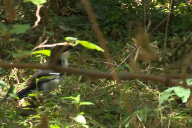
01.-avistaje-de-aves-en-la-argentina-(#1).jpeg

As a general rule of thumb for bird watching it is suggested that the magnification is not less than 7 and not more than 10. With greater magnifications the visual field decreases and the image begins to move requiring the support of a tripod. Zoom binoculars are not recommended. Neither are those with night visibility. 

The second number in this case "40" refers to the diameter of the lenses and this has to do with light collection, the more diameter the better light collection and this will allow us to observe better details.

For shady places like jungles or forests this is very important. As the diameter of the lens decreases, the luminosity decreases and the angle of vision or visual field narrows. It should be added here that binoculars with 50mm lenses are usually quite heavy although the more expensive brands currently use lighter and stronger materials. It will be necessary to evaluate then the average between distance and luminosity, this is called "exit pupil", this is done by dividing the diameter by the increases.
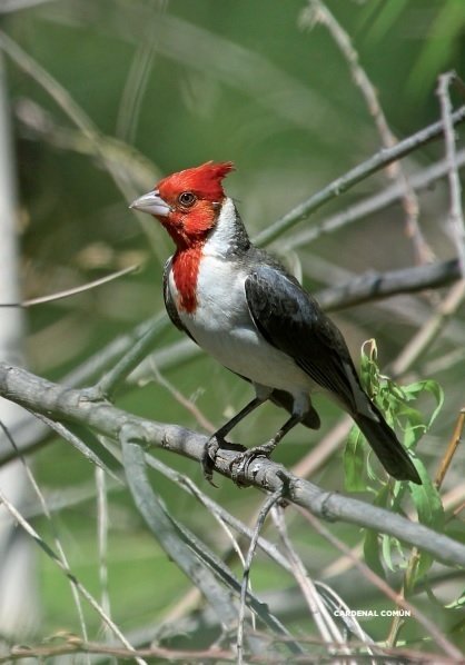
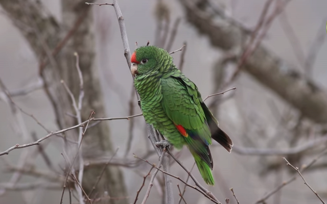
02.-avistaje-de-aves-en-la-argentina-(#2).jpg
Before choosing your binocular model of any brand, the following should be kept in mind: All binoculars have two numbers printed on their body, for example "8 x 40", the first number indicates the increases and the second the diameter. When we talk about magnification, we are referring to the number of times the observed object will bring us closer. To know the range, we will have to divide the distance at which the bird is, for example 30 meters by this first number, in this case the count will be 30/8 which gives us 3.75, that is, we will see the bird as if was less than four meters away.

As a general rule of thumb for bird watching it is suggested that the magnification is not less than 7 and not more than 10. With greater magnifications the visual field decreases and the image begins to move requiring the support of a tripod. Zoom binoculars are not recommended. Neither are those with night visibility. The second number in this case "40" refers to the diameter of the lenses and this has to do with light collection, the more diameter the better light collection and this will allow us to observe better details.

For shady places like jungles or forests this is very important. As the diameter of the lens decreases, the luminosity decreases and the angle of vision or visual field narrows. It should be added here that binoculars with 50mm lenses are usually quite heavy although the more expensive brands currently use lighter and stronger materials. It will be necessary to evaluate then the average between distance and luminosity, this is called "exit pupil", this is done by dividing the diameter by the increases.
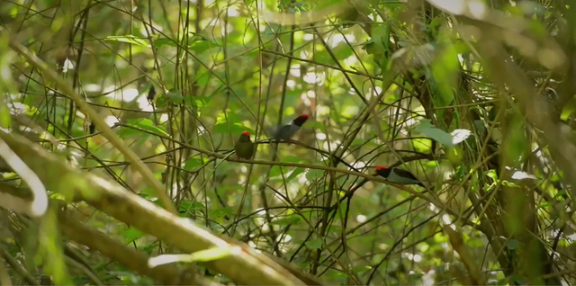
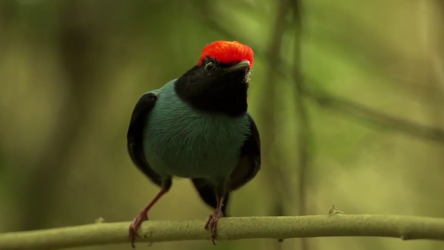
13.-Iguazú-Bailarin-Azul-9.png
Before choosing your binocular model of any brand, the following should be kept in mind: All binoculars have two numbers printed on their body, for example "8 x 40", the first number indicates the increases and the second the diameter. 

When we talk about magnification, we are referring to the number of times the observed object will bring us closer. To know the range, we will have to divide the distance at which the bird is, for example 30 meters by this first number, in this case the count will be 30/8 which gives us 3.75, that is, we will see the bird as if was less than four meters away. 

As a general rule of thumb for bird watching it is suggested that the magnification is not less than 7 and not more than 10. With greater magnifications the visual field decreases and the image begins to move requiring the support of a tripod. Zoom binoculars are not recommended. Neither are those with night visibility.

Before choosing your binocular model of any brand, the following should be kept in mind: All binoculars have two numbers printed on their body, for example "8 x 40", the first number indicates the increases and the second the diameter. When we talk about magnification, we are referring to the number of times the observed object will bring us closer. 

To know the range, we will have to divide the distance at which the bird is, for example 30 meters by this first number, in this case the count will be 30/8 which gives us 3.75, that is, we will see the bird as if was less than four meters away. 

As a general rule of thumb for bird watching it is suggested that the magnification is not less than 7 and not more than 10. With greater magnifications the visual field decreases and the image begins to move requiring the support of a tripod. Zoom binoculars are not recommended. Neither are those with night visibility. 

The second number in this case "40" refers to the diameter of the lenses and this has to do with light collection, the more diameter the better light collection and this will allow us to observe better details. For shady places like jungles or forests this is very important.

As the diameter of the lens decreases, the luminosity decreases and the angle of vision or visual field narrows. It should be added here that binoculars with 50mm lenses are usually quite heavy although the more expensive brands currently use lighter and stronger materials. It will be necessary to evaluate then the average between distance and luminosity, this is called "exit pupil", this is done by dividing the diameter by the increases.

The second number in this case "40" refers to the diameter of the lenses and this has to do with light collection, the more diameter the better light collection and this will allow us to observe better details. For shady places like jungles or forests this is very important. As the diameter of the lens decreases, the luminosity decreases and the angle of vision or visual field narrows.

It should be added here that binoculars with 50mm lenses are usually quite heavy although the more expensive brands currently use lighter and stronger materials. It will be necessary to evaluate then the average between distance and luminosity, this is called "exit pupil", this is done by dividing the diameter by the increases.

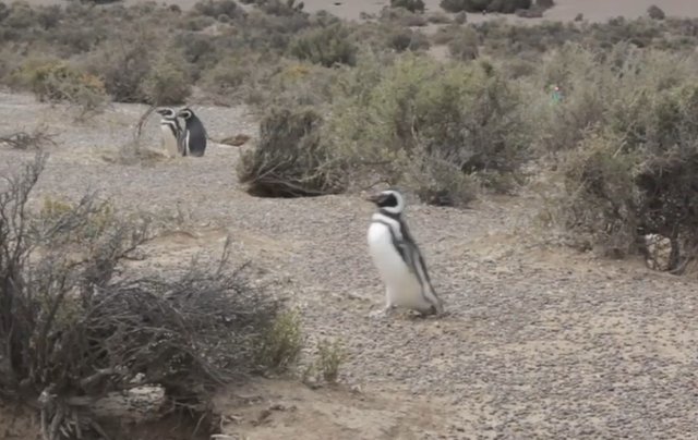
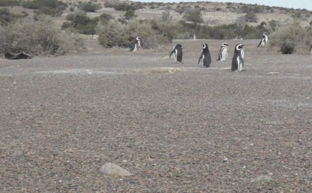
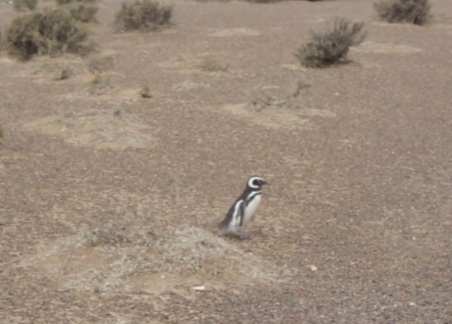
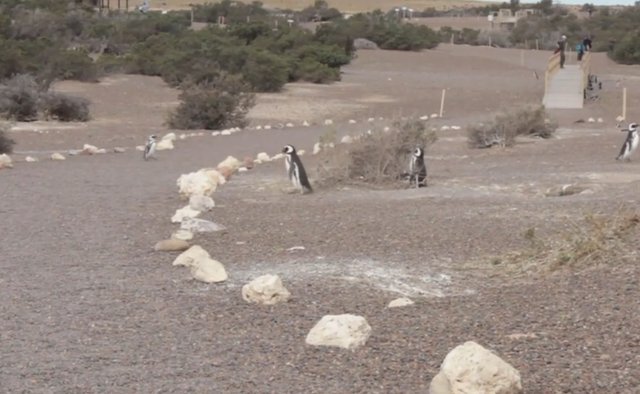
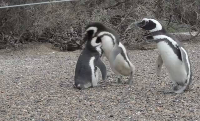
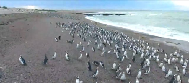
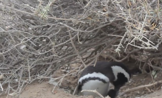
Million penguins live on the Patagonian coast, in the Punta Tombo reserve.

About a million penguins live on the Patagonian coast, in the Punta Tombo reserve, 180 kilometers from Puerto Madryn.

A beautiful and thrilling show. See thousands and thousands of penguins walking among people looking for their nests or their young on the infinite marine beach of Punta Tombo.
02.-Pingüinera de Punta Tombo-1.jpg
02.-Pingüinera de Punta Tombo-2.jpg
02.-Pingüinera de Punta Tombo-4.jpg
02.-Pingüinera de Punta Tombo-6.jpg
02.-Pingüinera de Punta Tombo-7.jpg
02.-Pingüinera de Punta Tombo-9.jpg
02.-Pingüinera de Punta Tombo-10.jpg

The Iguazú National Park.

The Iguazú national park (in Spanish Parque Nacional Iguazú, in Portuguese Parque Nacional do Iguaçu) is a national park located on the border between Argentina and Brazil and the border is established by the homonymous river. 

The Argentine part of the park is located in the north of the province of Misiones, while the Brazilian part of the park is located in the south-western part of the state of Paraná. It covers an area of approximately 2,250 km², of which 550 in Argentina and 1,700 in Brazil, although 80 percent of the falls are located in Argentina.

The park was created in 1939 and includes one of the most famous naturalistic landscapes in all of South America, the Iguazu falls, immersed in the tropical forest. Both the Argentine and Brazilian parts of the park were included in the UNESCO World Heritage List, the first in 1984 and the second in 1986.

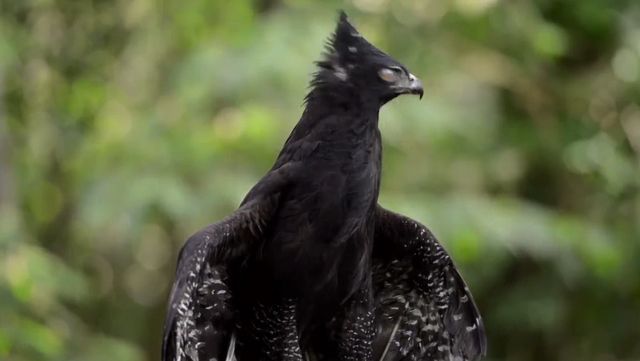
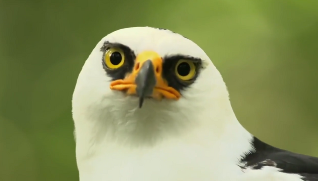
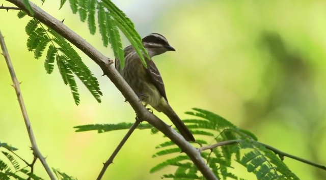
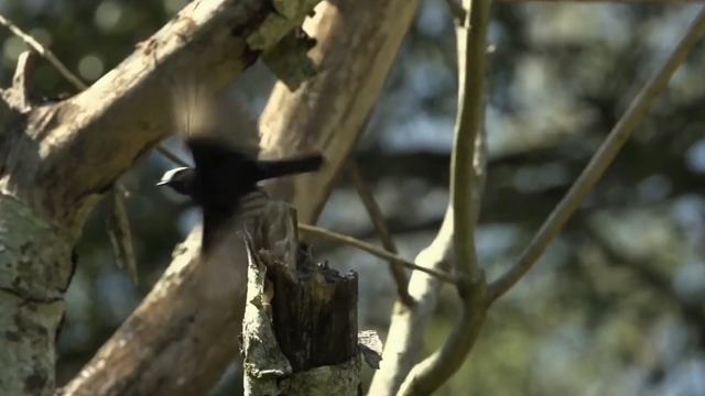
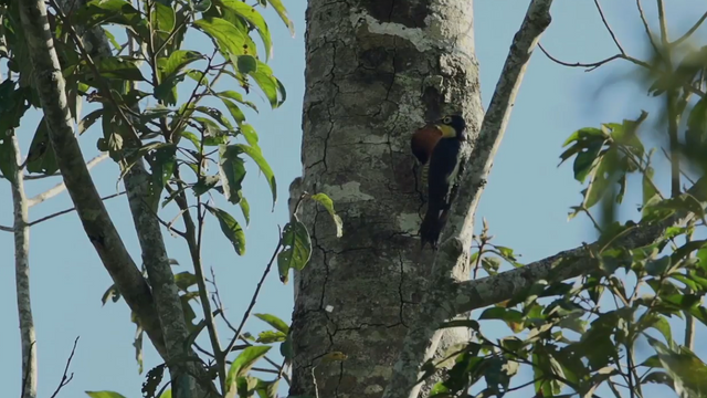
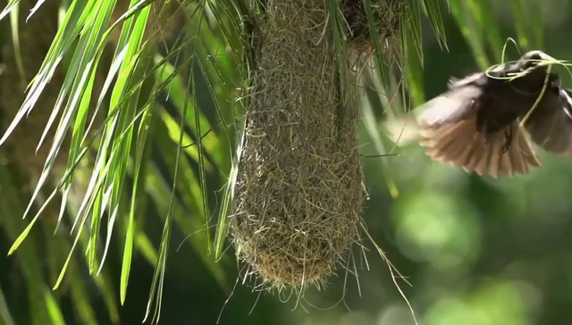
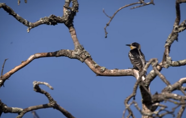
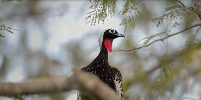
Among the bird species that can be seen the most within the park is the famous large toucan (5 types of toucans inhabit), magpies, terres, parrots and swifts, the latter species that we mentioned fly through the water columns from the waterfalls and can be easily seen from the balcony of the devil's throat. The swift is the bird that symbolizes the Iguazú National Park.

The North of the Province of Misiones is a paradise for bird lovers. This is due to its warm climate throughout the year, its exuberant flora and its many Reserves dedicated to Environmental Conservation.
10.-iguazu-fauna-1.png
10.-iguazu-fauna-aguila.png
10.-iguazu-fauna-aguila-1.png
10.-iguazu-fauna-bailarines-azules.png
10.-iguazu-fauna-benteveo.png
10.-iguazu-fauna-benteveo-pirata.png
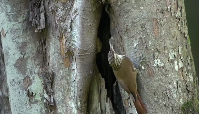
10.-iguazu-fauna-chinchero.png
10.-iguazu-fauna-guetapa-negro.png
10.-iguazu-fauna-pajaro-carpintero.png
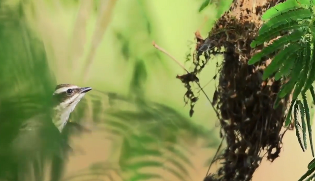
10.-iguazu-fauna-pajaro-tejedor.png

The Impenetrable is a must-see for lovers of hiking and nature.

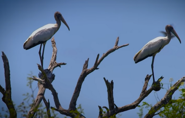
It is one of the little explored places in the country, but it is worth knowing. The new park, of 128 thousand hectares, now represents the largest reserve in northern Argentina.

It is very difficult to find a degree of biodiversity as pure as that seen in El Impenetrable National Park.

The national park is part of what Estancia La Fidelidad used to be and extends between the provinces of Chaco and Formosa, covering an area of ​​250,000 hectares, divided by the Bermejo river.

The origin of its name lies in the difficulty of entering the area. Nature is diverse.
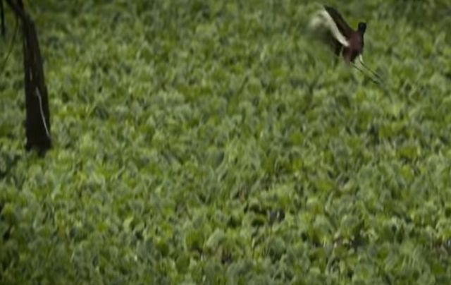
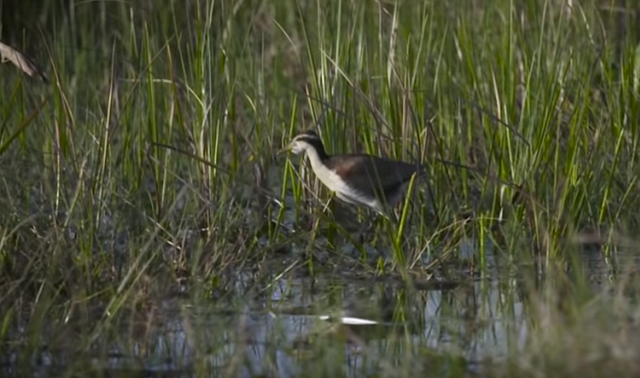
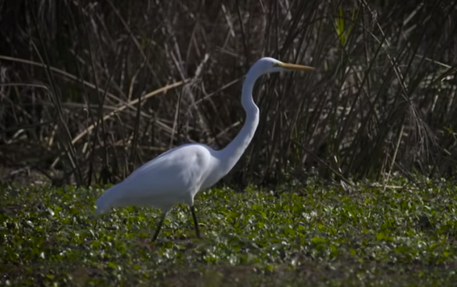
06.-El-Impenetrable-aves.png
06.-El-Impenetrable-aves-1.png
06.-El-Impenetrable-aves-2.png
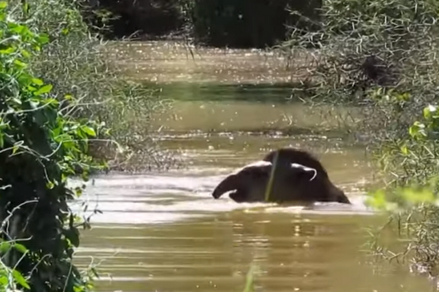
06.-El-Impenetrable-fauna.png
06.-El-Impenetrable-fauna-1.png
06.-El-Impenetrable-fauna-2.png
06.-El-Impenetrable-pajaro.png
Papyrus_PNG_Clipart_Image-1000x737.png

Aconquija National Park is part of the new series of national parks established by Argentina from the 90s as a result of a policy aimed at protecting and sustaining environmental development in full respect of nature and biodiversity.

And as part of the Argentine parks, it stands out for the absolutely natural and virgin environment that encompasses its entire surface, where many endangered plant and animal species are protected, guarded and respected.
The incredible sensation of feeling the clouds above our heads.

Aconquija National Park, spectacular landscapes, high biodiversity, archaeological and cultural values.


The Aconquija mountain range is formed by steep mountains. Large differences in altitude in few kilometers allow the existence of a very diverse environmental gradient. The lower portions of the mountains up to 3000 meters high constitute the Yungas eco-region, with its subtropical mountain forests. Above the forest strata, mountain meadows, rocky outcrops, meadows and permanent snow are found.

Heavy rains and mountain springs give rise to many permanent rivers and streams that flow to the plain, and feed the main basin of Tucumán, Santiago del Estero and the north of the Province of Córdoba. Many cities, villages and most of the agricultural and livestock production of the region depend on the water flowing from these mountains.

The low mountains are the dominant element in Aconquija National Park.

How to get.


The most advisable thing is to leave from Tucumán to Concepción along National Route 38, approx. 75 km. from Concepción to Alpachiri by National Route 65, approx 17 km and from there by provincial route. 330 (consolidated gravel road 12 km to the entrance to the Park and 3 km more to reach the public use area in the Santa Rosa area.
The characteristic fauna is varied and abundant.
Another alternative means of transportation is to reach the capital of Tucumán where buses arrive from all over the country and daily flights from Buenos Aires and Córdoba.
To reach the protected area you can get to Concepción and even Alpachiri by public transport and from there rent a car, hire a remise or resort to a tourism agency (the buses leave in Alpachiri, 12 km away).

It is also possible to rent a van in Concepción.

Yungas Ecosystem.


As commented in the parks, the ** Aconquija National Park houses a particular sample of the eco-regions of the Yungas, the High Andes and the transition environments (ecotones) between the two.
The lower zone of the Yungas has a climate from tropical to subtropical, rainy and cloudy.
An exponent of the Yunga and Altoandina ecoregions, the protected area conserves the headwaters of the Jaya and Las Pavas rivers, which, lying on the eastern slopes of the Aconquija mountains, carry their waters to the valleys and cultivation fields of Tucumán.

Jungle flora is abundant in tree species.


Although the jungle flora is lavish in tree species, the presence of the alder of the hill deserves to be highlighted, which gives its name to the Campo de los Alisos portal.

Although it also grows in the jungle, this species is characteristic of the Montane Forest between 1,500 and 2,000 meters above sea level, where it forms almost pure associations.

It is considered a very useful species to fix and protect degraded soils, due to its rapid growth and ability to fix atmospheric nitrogen.

The fauna registers more than 400 species.

09.-The-National-Parks-of-Argentina-Aconquija-(Tucuman)-loro alisero.png
The Smooth Parrot is one of the most representative bird species in Aconquija National Park.
The fauna is not far behind in terms of diversity. So far, more than 400 species of vertebrates have been registered, among which are guanacos, river wolves, the Andean cat, the mountain frog and the ocelot.
Read also: A virtual journey through the national parks of Argentina (#2): Baritú, protected natural area.
A separate paragraph corresponds to the Smooth Parrot, an endemic species of the Yunga of northwestern Argentina and southern Bolivia. This parrot nests only in the Montane Forest, between November and March. During the winter, it forms flocks that go to the lower areas to feed on the fruits of the cebil fork and other plants in the foothills.
There have been registered the presence of wild guan (Penelope obscura), aquatic birds such as the torrent duck (Merganetta armata) and the white heron (Ardea alba), the maitaca parrots (Pionus maximiliani), chatty (Amazona aestiva) and the red-faced calancate (Psittacara mitratus), raptors such as the common harrier (Geranoaetus polyosoma) or the carancho (Caracara plancus), to which several dozen songbirds are added.


A separate paragraph corresponds to the Smooth Parrot, an endemic species of the Yunga of northwestern Argentina and southern Bolivia. This parrot nests only in the Montane Forest, between November and March. During the winter, it forms flocks that go to the lower areas to feed on the fruits of the cebil fork and other plants in the foothills.

Flora.

These large trees are usually practically covered with epiphytes such as some orchids and the carnations of the common air (Tillandsia pulchella) and giant (Tillandsia maxima), among others.
In the foothill jungle the predominant plant species are alder (Alnus acuminata), characteristic of montane forest between 1500 and 2000 meters above sea level, cebil (Parapiptadenia excelsa), tipa (Tipuana tipu), laurel (laurus nobilis), the tarco (Jacaranda mimosifolia), the yellow drunk stick (Chorisia insignis) and the horco molle (Blepharocalyx gigantea) among others. 


Between 1,000 and 1,500 meters above sea level, the montane jungle begins, characterized by its high density and the presence of walnut (Juglans australis), Tucumán cedar (Cedrela lilloi), elderberry (Sambucus peruvianus), hill laurel (Phoebe porphyria), the horbil cebil (Piptadenia excelsa), the cochucho (Fagara coco), the mato (Eugenia pungens), palo San Antonio (Rapanea laetevirens), the bouquet (Cupania vernalis) and the shawl (Allophylus edulis), among others.
After 1,500 m, the montane forest continues, where alders of the hill (Alnus jorullensis) and pine trees of the hill (Podocarpus parlatorei) are found, which disappear to give rise to the tall meadow, with groups of queñoa (Polylepis australis) 
The Argentine Republic has a rich biodiversity that manifests itself in 18 varied ecoregions.
Biodiversity is the degree of variation of life forms within a given species, ecosystem, biome, or planet.

Terrestrial biodiversity tends to be highest at low latitudes near the equator,which seems to be the result of the warm climate and high primary productivity.

Marine biodiversity tends to be highest along coasts in the Western Pacific, where sea surface temperature is highest and in mid-latitudinal band in all oceans.
The cougar, mountain lion or lion is a feline that lives in more places than any other land mammal in the Americas.


The Argentine Republic has a rich biodiversity that manifests itself in 18 varied ecoregions.


Biodiversity generally tends to cluster in hotspots, and has been increasing through time but will be likely to slow in the future.

The loss of biodiversity generates negative consequences.

Rapid environmental changes typically cause mass extinctions.One estimate is that <1%-3% of the species that have existed on Earth are extant.

Since life began on Earth, five major mass extinctions and several minor events have led to large and sudden drops in biodiversity.

Evolution and History.

The Phanerozoic eon (the last 540 million years) marked a rapid growth in biodiversity via the Cambrian explosion—a period during which the majority of multicellular phyla first appeared.
The next 400 million years included repeated, massive biodiversity losses classified as mass extinction events.
Read also: A virtual journey through the national parks of Argentina: Calilegua yungas biosphere reserve.
In the Carboniferous, rainforest collapse led to a great loss of plant and animal life. The Permian–Triassic extinction event, 251 million years ago, was the worst; vertebrate recovery took 30 million years.

The most recent, the Cretaceous–Paleogene extinction event, occurred 65 million years ago and has often attracted more attention than others because it resulted in the extinction of the dinosaurs.
The period since the emergence of humans has displayed an ongoing biodiversity reduction and an accompanying loss of genetic diversity.
The coati, endowed with an extraordinary ability to adapt, live indifferently in the low tropical regions and in the arid wooded plateaus, in the oak groves, in the plains rich in mesquite or on the edges of the deserts; however, they prefer plains covered with woods.


Named the Holocene extinction, the reduction is caused primarily by human impacts, particularly habitat destruction. Conversely, biodiversity impacts human health in a number of ways, both positively and negatively.

The United Nations designated 2011-2020 as the United Nations Decade on Biodiversity.

With an area of 2,791,810 square kilometres, Argentina is the second largest country in South America. Due to its extension in latitude --from 22 to 56 º SL-- its territory encompasses a variety of climates, landscapes, flora and fauna. Argentina is included in the group of the 25 most biodiverse countries in the world in terms of sheer numbers of species present.

The several types of native forests to be found in that country are strongly linked to such biodiversity levels.

Nevertheless, they have been disappearing at an alarming rate. At the beginning of the 20th century, the country had more than 100 million hectares of forests, which at present are reduced to less than 20 million hectares, half of them suffering an accelerated process of degradation.

Those supposedly responsible for their conservation have reacted with complete indifference and in some cases even promoting such destruction.The causes of the present situation are historical.
The Punta Tombo penguin colony is the largest continental colony of Magellanic Penguins in the world.

Evolutionary Diversification.


Coinciding with the conquest of the country's interior by the Buenos Aires centralized government that took place during the second half of the 19th century in the name of modernization, forests in different regions of the country entered a period of decline which has continued and worsened in the last decades.

Logging by foreign and national companies, infrastructure projects and more recently the establishment of pulpwood and carbon-sink monoculture tree plantations have been some of the major causes of forest loss.


The British forestry company La Forestal.


Cases of deforestation have been reported all over the country. During the 19th century, in the northern province of Santiago del Estero a severe process of deforestation occured, which devastated the forests to the detriment of a local population formed by people of Quichua and Spanish descent.

Responsible for it were powerful European logging companies --stimulated by the government-- which once the resource was exhausted left the country leaving a landscape of devastation and poverty behind.

A similar case is that of the Province of Santa Fé, where forest cover decreased in nearly 4.6 millionhectares over the last 80 years, with a deforestation rate reaching 121,500 hectares per year between 1970 and 1984.

The British forestry company La Forestal, which began to operate in the region in 1880 owning nearly one third of the Province's area to exploit "quebracho" (Schinopsis balansae) forests, was the direct responsible for this depletion.

Social unrest caused by the exploitation of nature and people and violent repression that followed constitute one of the most serious cases of environmental conflicts in Latin America.

San Luis and La Pampa.


In central San Luis Province, the last 200,000 hectares of "caldén" (Prosopis caldenia) forests are threatened by a project to be implemented by Orinco Argentina S.A. to produce parquet flooring and charcoal for export.
The caldenal pampeano managed to strengthen itself in recent decades over the native species of the area thanks to the action of livestock activity.

This is a unique open forest in a semiarid climate, where several tree species coexist with the dominant Prosopis caldenia, such as Geoffroea decorticans, Iodina rhombifolia, Schinus fasciculatus and Prosopis nigra.

Misiones, Corrientes and Chaco.


The subtropical Province of Misiones, at the border with Brazil and Paraguay, is also undergoing a process of forest loss.

At the beginning of the 20th century 90% of its area was covered by a dense subtropical forest, but nowadays there are only 1,500,000 hectares left. Instead, large areas of the province are now covered by monoculture pine tree plantations mostly aimed at pulp production.

Tierra del Fuego and Patagonia.


Last February the government of Tierra del Fuego Province, in the extreme south of the country, authorized the logging of 130,000 hectares of "lenga" (Nothofagus pumilio) native forests, with complete disregard of the opinion of civil society and academic circles.
Lenga, Tierra del Fuego oak, southern beech or white oak, is a tree of the Nothofagaceae family (or of the Fagaceae family according to another classification). It is a representative species of the Andean Patagonian forest of southern Argentina and Chile.

The beneficiary is the US-based company Trillium, which has already created environmental conflicts for its devastating activities in southern Chile.

Entre Rios.


Infrastructure works are also a direct cause of deforestation and biodiversity loss.

The palm grove of Entre Rios at sunset.
The NGO Vida Silvestre has recently denounced the destruction of the riverine forests in the hydrologic system of the Uruguay River in the eastern province of Entre Ríos because of this reason.

Jujuy and Salta.


In the northern Provinces of Jujuy and Salta, the Kolla indigenous people have been defending the "yungas" --one of the last remaining mountain forests in Argentina, that is the habitat of the endangered jaguar "yaguareté"-- against a pipeline project that would transport natural gas from eastern Salta to northern Chile's copper mines. Greenpeace Argentina has had an active participation in this conflict.
Yungas or yunga are regions or ecoregions of Andean forest and mountain jungle along the eastern flank of the central Andes.
Last but not least, tree plantations with fast-growing species are posing a major threat to biodiversity in Argentina.

Carbon sink plantations --together with the more traditional pulpwood and timber plantations-- are increasingly being promoted as a "solution" to climate change and could result in further forest loss.

Rio Negro and Neuquén.


In May 2000 the company El Foyel S.A, in an area located near the Nahuel Huapí National Park, in the southern Province of Río Negro, began to log 300 hectareas of native forest to substitute them with oregon and radiata pine plantations for a carbon sink project.

Native cypress trees, as well as "ñire" (Nothofagus antartica) and "maitén" (Maytenus boaria) were cut down. The quick and strong reaction of local dwellers and the environmental NGO "Comunidad de Limay" prevented the project to continue.

Principles and Basis of the Process of Preparation of the National Biodiversity Strategy.

A document titled "Principles and Basis of the Process of Preparation of the National Biodiversity Strategy" states: "The Government and the People of the Argentine Nation know that it is vital to maintain an environment rich in species and ecosystems. They are concerned about the loss of the values and ancient knowledge kept through the years by different cultures and communities that live in the country.

Sources.
Wikipedia
Argentina Live

Papyrus_PNG_Clipart_Image-1000x737.png
Located 35 kilometers (22 miles) from Bariloche, heading south on National Route 40.

Lake Guillelmo sits near Villa Mascardi, a tourist town not too far away from San Carlos de Bariloche.

The feeling of gratitude is obviously towards mother nature, who has built beauties like this lake and at the same time has endowed us with the ability to recognize and enjoy that beauty.

On the shores of this glacial lake you can camp in the free camping area or in the organized camping Las Carpitas, which is located between Lake Mascardi and Guillelmo and has an entrance through Villa Mascardi, a small farmhouse where there is a pantry. and a ranger station.

Located 35 kilometers (22 miles) from Bariloche, heading south on National Route 40. 


Lake Guillelmo Fishing, Camping and a Well-Deserved Rest.


Guillelmo Lake is a lake of glacial origin located in the province of Río Negro, Argentina, in the Bariloche department.

It is located entirely within the Nahuel Huapi National Park, and surrounded by the Andean Patagonian forest, although in part degraded by ancient forest fires. The lake level is artificially raised to increase the gap that separates it from Lake Mascardi, where it drains through a stream in which a dam has been built for hydroelectric use.

Located on the edge of National Route 40, it is near Villa Mascardi, an eminently tourist town, not far from the city of San Carlos de Bariloche, the tourist capital of southern Argentina. However, the degradation of its coasts limits tourism in this lake, which is little visited in general, with the exception of salmonid fishermen.

It is oriented in a north-south direction, which means that the prevailing winds from the west do not affect it too much.

The lake is especially known for being its coasts an obligatory passage for tourists and residents who move to El Bolsón, along Route 40.

Its name pays tribute to Juan José Guillelmo, one of the first Jesuit missionaries who missioned among the indigenous people of the region - Pehuenches and Tehuelches, and probably also Mapuches - in the 17th century.


How to get.

To get there, take Route 40 South, heading towards the city of El Bolsón. Traveled about 35 kilometers and after having passed the Gutiérrez lakes, first and Mascardi later, you should turn left, in Villa Mascardi, at kilometer 2003. 

A narrow dirt road starts from this hamlet, which must be traveled for approximately two kilometers to reach the free camping sector. In the Villa Mascardi area there is also a ranger station and directions to the Las Carpitas campsite.


Find crystal-clear water in a lake with a surface that reflects the stunning scenery around it.


To get there you should take National Route 40 to the south, heading toward El Bolsón. After having travelled for 35 kilometers (22 miles), and having passed the Gutiérrez and Mascardi lakes, you turn left at Villa Mascardi, at milestone 2003.

A narrow unpaved road opens up past this town and if you follow it for about 2 kilometers (about a mile), you'll reach the free camping area. In the zone near Villa Mascardi, you'll also find the ranger's office and directions to reach Las Carpitas campsite.

 
Copyright © 2015 Argentina Photo Gallery
Distributed By Gooyaabi Templates
-->